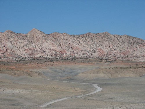
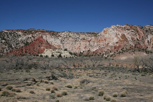
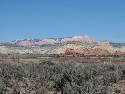
So we set out. Sure enough, when we checked in for the latest road conditions in the morning, we found out that the road was easily passable by two-wheel-drive vehicles, so Caroline should have no problems. We started driving, and the scenery was amazing. Pink rocks on one side:
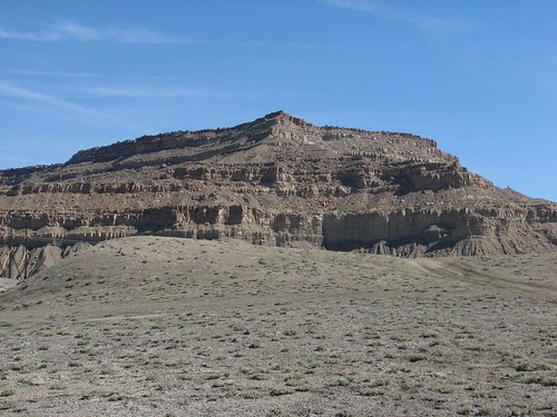
Nearly black rocks on the other:
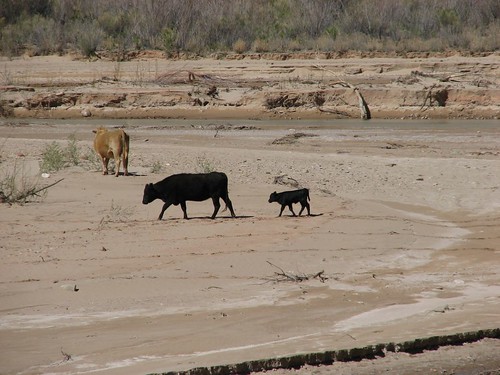
Apparently, grazing rights on the land are leased out because we saw several cows along the drive.
We’d drive for a little while and then stop because we saw something else that warranted a photo.
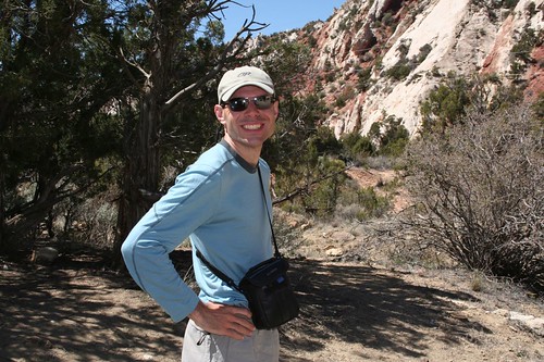
A little bit past halfway on the dirt road, we came to a trailhead for a slot canyon that we wanted to hike. Here’s Brian, excited to be out of the car for a while:
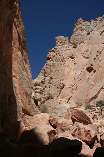
The beginning of the hike:
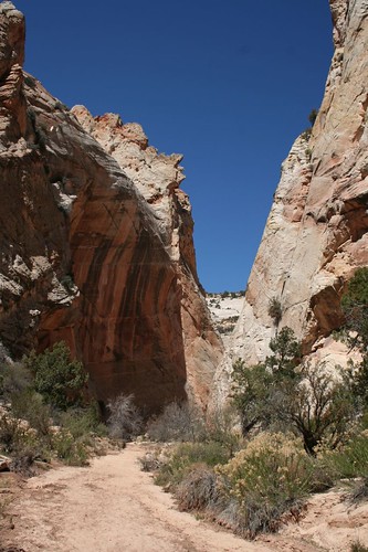
Very quickly, the canyon narrowed, and we scrambled up some rocks to continue along the trail.
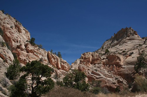
A nice view from the trail:
It was a beautiful hike, and exceptionally quiet – we only saw four other hikers. In fact, the entire drive, we saw very few other people. When Bill Clinton dedicated Grand-Staircase Escalante as a monument, he pointed out that it was the last section of the lower 48 to be mapped. It’s a vast expanse in the middle of nowhere with few roads going through it, and most of those impassable by all but the most rugged trucks. No wonder it gets so few visitors.
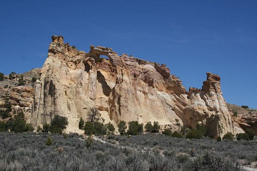
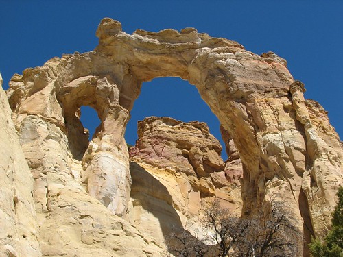
Further along the drive, we came to one of the most famous sights in the monument, Grosvenor Arch. It’s actually a double arch – a big one and a small one.
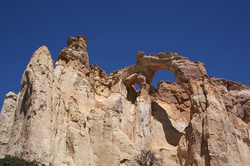
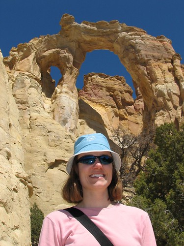
Brian just had to take a picture of Sarah standing in front of the arch.
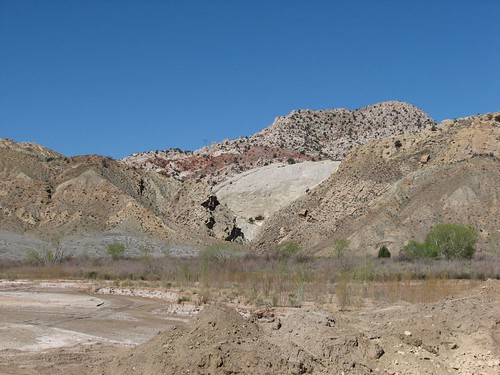
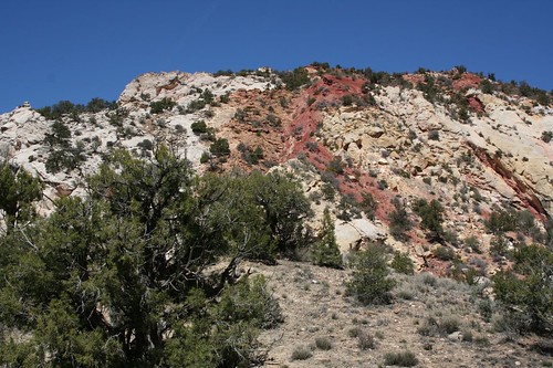
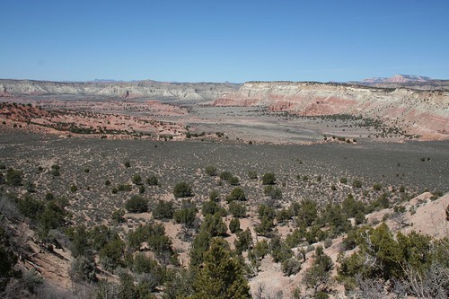
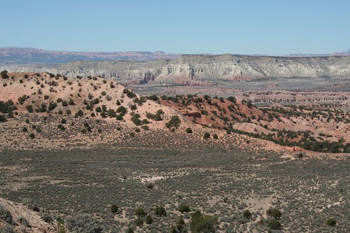
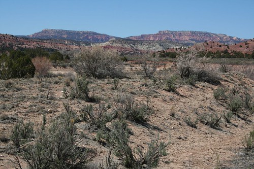
As we neared the end of the drive, the views became even more expansive, with more gorgeous pink rocks.
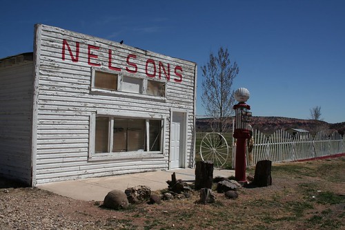
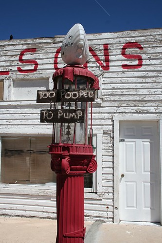
Finally, we came to the end of the road, left the monument, and reached a town called Cannondale. We thought the defunct Nelsons gas station was cute.
After leaving the monument, we were now very close to Bryce Canyon National Park, our next stop!
2 comments:
Nice report. Great pictures. Glad you enjoyed your visit to the Monument. Come back and see us again.
Sincerely,
Larry Crutchfield
Public Affairs Officer
Grand Staircase-Escalante National Monument
Thanks Larry! We actually did come back through the monument, driving the Burr Trail to Capitol Reef. Had a great time!
Post a Comment