The next morning, we went to the Spring Mountain visitors center and learned about the hiking options in the area. The centerpiece of the recreation area is 11,918’ Mt. Charleston, the third-highest mountain in Nevada. There’s even a ski area on the mountain. Who would have thought you could ski in the desert, less than an hour from Las Vegas?
The premier hike in the recreation area is a loop that climbs to the top of Mt. Charleston. It sounded like a great weekend backpacking trip, but of course, in April it’s still snowed in. Instead, we decided to do two short hikes.
The first hike was to Mary Jane Falls, a 2.5-mile round trip. The hike started out going gently uphill and offering nice views of the mountains:
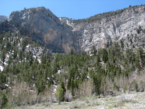
After a ways, the gentle uphill abruptly turned into steep switchbacks. Overall, the trail is was pretty steep – about 1000 feet of elevation gain over 1.25 miles. It was also crowded – this area was clearly popular with Nevada residents. We’d seen a few California cars in the parking lot and one other Washington car, but all of the others were from Nevada.
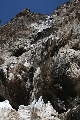
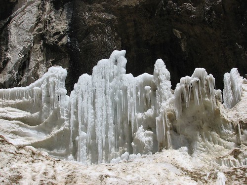
Eventually, we reached the waterfalls – there were actually two long falls, side-by-side. The falls themselves weren’t very impressive because the flow was pretty low. But the ice at the bottom of the falls was pretty neat.
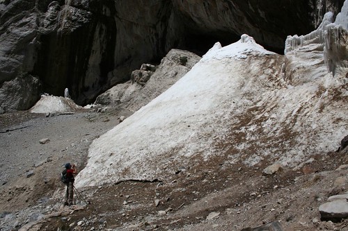
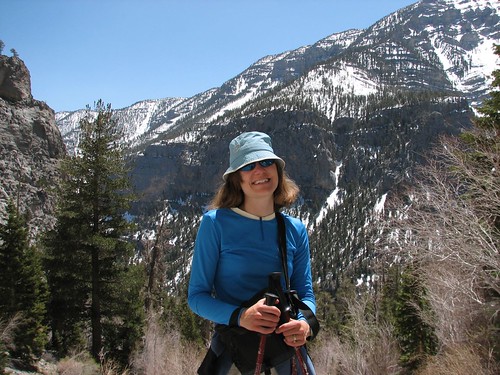
Here’s Brian, taking a picture of the falls and ice:
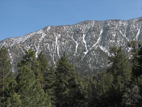
From the falls, we could see pretty snow-covered mountains in the other direction. Not at all what we expected when we came to Vegas!
The second hike into Fletcher Canyon actually started right across the street from our campground. We hiked a ways to a pretty spring and then turned around. We got a nice view of some avalanche chutes on the nearby mountainside.
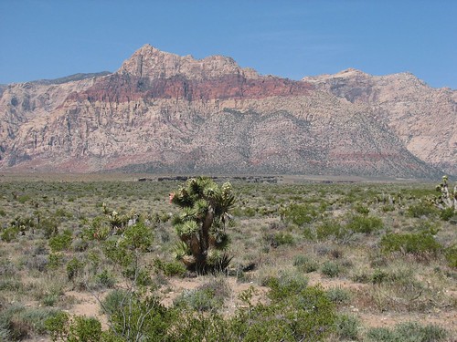
The next morning, we packed up and headed back toward Vegas. On the way back, we took a side trip to Red Rock Canyon National Conservation Area, which is just west of Vegas. The trip turned out to be well worth it for fascinating desert vegetation and beautiful red rocks. A short walk around the visitors center offered looks at both.
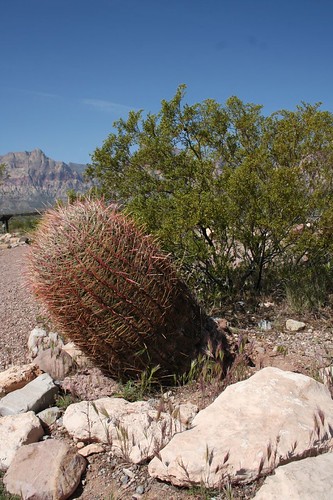
Here’s a barrel cactus:
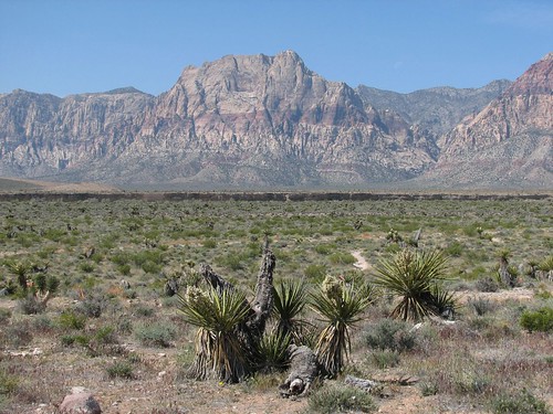
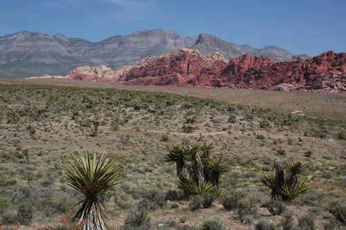
Here are some yucca plants in front of striped mountains:
Driving in the area surrounding Las Vegas, we saw lots of juniper trees:
Some more yucca and another juniper in front of the Calico Hills:
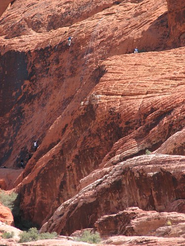
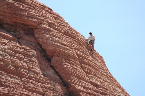
The main thing that most visitors do in the park is to drive a 13-mile scenic loop. Many trailheads around the drive offer access to short day hikes. But Red Rock Canyon also claims to be one of the top five climbing areas in the United States, and near the beginning of the drive, we saw a few climbers.
We decided to do the 2.5-mile round-trip Calico Tanks hike. While we were in the parking lot getting ready to start the hike, we saw a roadrunner. Saddly, it ran away before either of us could get a camera out.
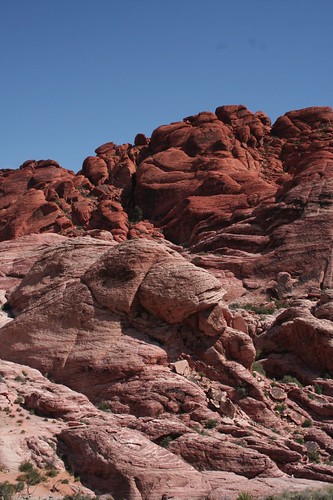
Near the beginning of the hike, we saw some sandstone blocks:
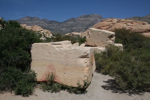
For a few years in the first decade of the 20th century, Red Rock Canyon was a working quarry. But the canyon wasn’t very close to a railroad, and delivering ten-ton blocks of sandstone by steam-powered wagon was a money-losing proposition. A few blocks remain that were cut out but never shipped out.
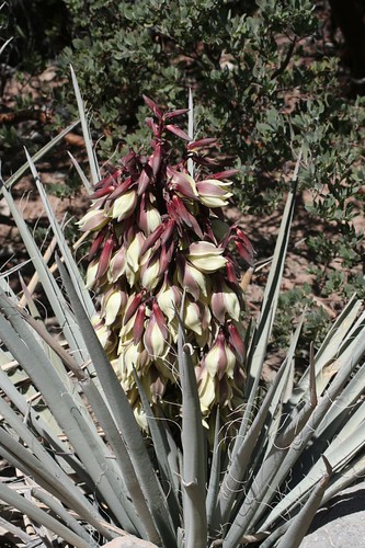
The vegetation along the hike was also interesting. This banana yucca was in full bloom:
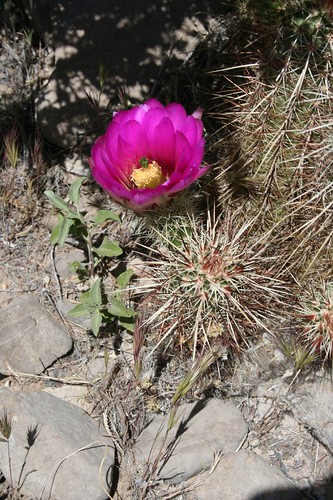
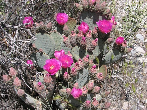
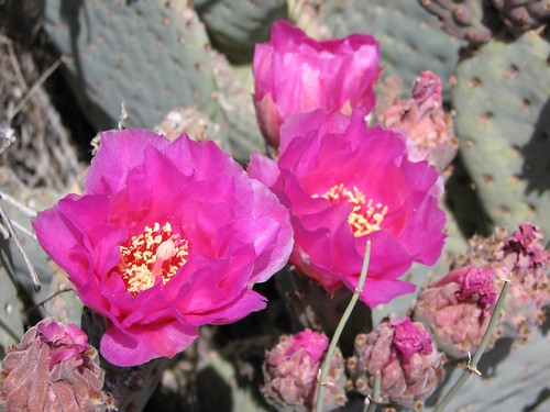
The prickly pear and beavertail cacti were also in bloom with beautiful pink-purple flowers:
The hike started on gravel, but pretty quickly turned into a climb on the Calico Hills, involving a bit of rock scrambling. The trail was crowded with a lot of people taking a day away from Vegas. A few of the hikers looked like they’d fit right in at the Gold Coast Casino, and some were even wearing casino T-shirts, but they all gamely hiked the moderately strenuous terrain.
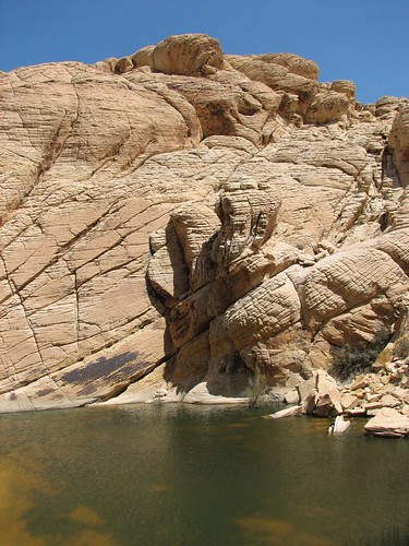
Sure enough, at the end of the hike, we reached a large tank:
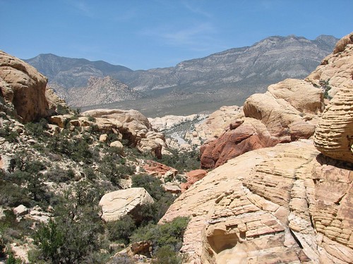
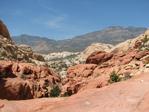
As we walked back toward the trailhead, we got some nice views of where we’d come from:
We continued along the scenic drive, eating our lunch at the highest point of the drive, which offered nice 180-degree views. At the end of the scenic drive, we headed to Vegas. Time to check back into the Gold Coast for another two nights of luxury – at least, compared to our typical tent accommodations!
No comments:
Post a Comment