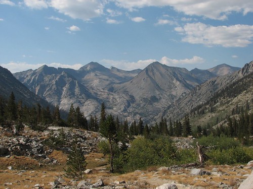
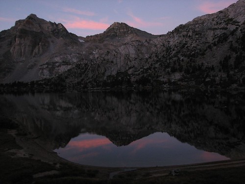
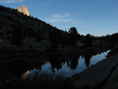
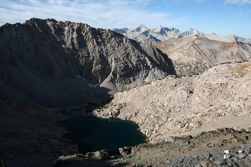
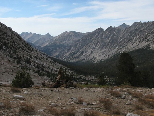
Here’s the view looking back at the Palisade Lakes:
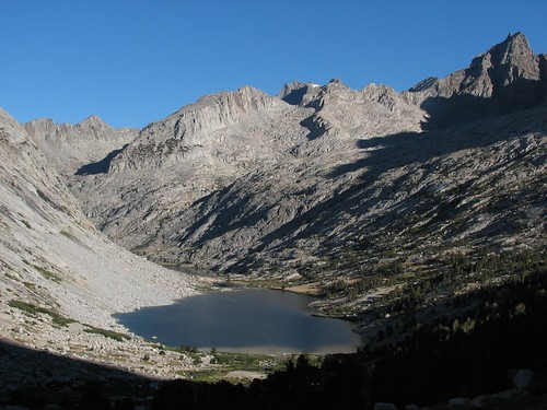
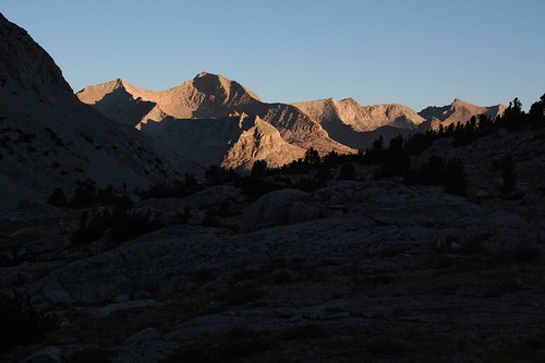
The Palisades, a series of 14,000’ peaks, still towered above us.
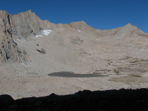
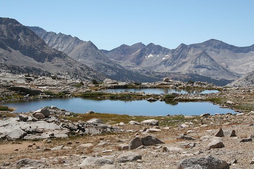
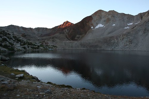
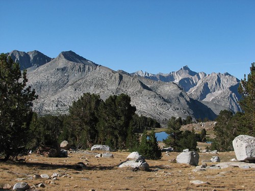
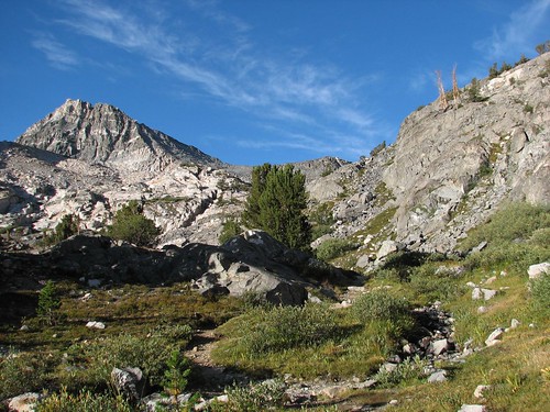
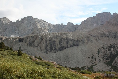
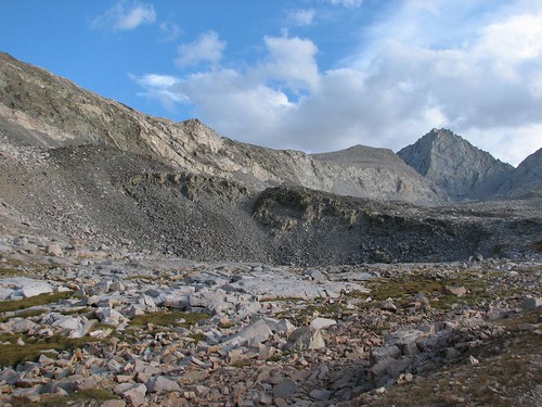
We passed another tarn as the landscape got more and more barren.
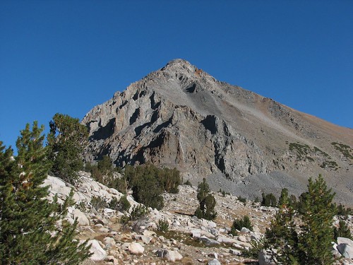
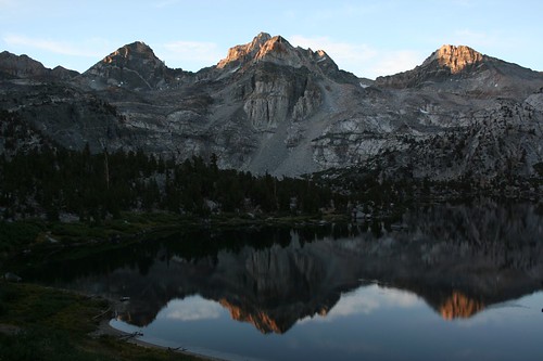
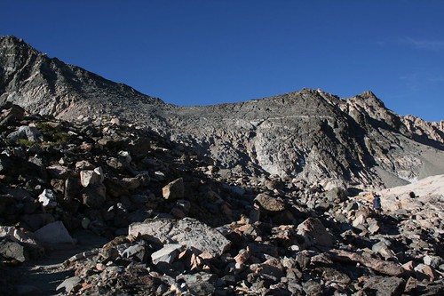
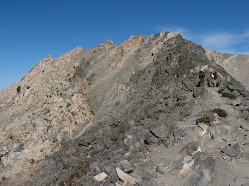
At last, we conquered all of the switchbacks through granite talus and made it to the top of Mather Pass. At 12,100’, Mather Pass was our first pass over 12,000’.
We took more photos looking back down our route before sitting down for a nice long break.
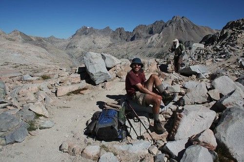
Here’s Brian, taking off his boots for the break:
While chatting with people at the top of the pass, we met another couple that we’d passed a couple of times on the trail, Jeremy and Colleen. It turns out that they are also living out of their car at the moment, and they also had their car broken into in the Yosemite parking lot the day before our car was. Like us, they had removed from their car all food and toiletries and anything else with a smell, and they had put blankets over the remaining stuff in their car, but it still wasn’t good enough. Although all other aspects of our stories were nearly identical, they were luckier in one respect: The bear just smashed through their window instead of destroying the whole door. They had driven their car out to Fresno to get the window repaired and then started their trip a day late, leaving their car in the Yosemite parking lot. We thought that was awfully brave; let’s hope they didn’t return to find the window broken again!
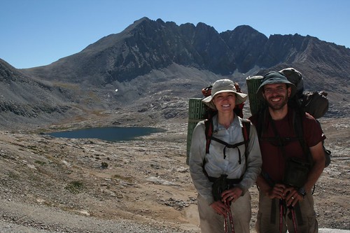
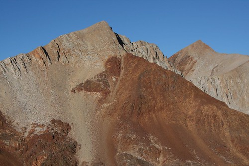
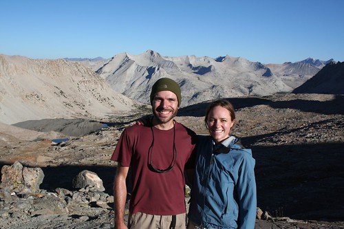
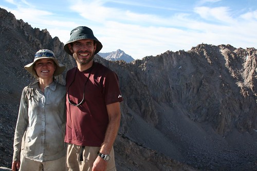
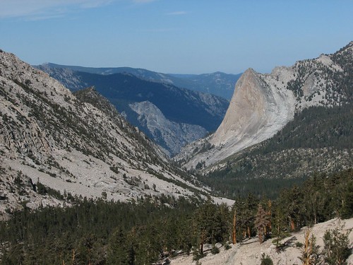
Finally, we decided it was time to continue on, but first one of the other hikers got a couple of photos of us at the pass. This photo is looking at Split Mountain.
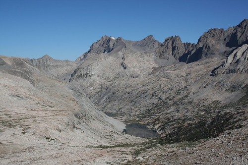
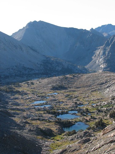
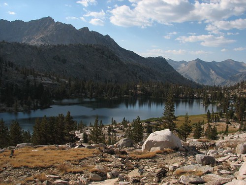
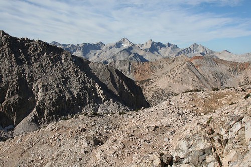
This photo is looking down at the Upper Basin of the South Fork of the Kings River.
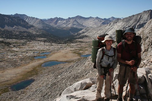
Way off in the distance above the treeline, you can see just a little bit of Marjorie Lake, which is where we were heading for the night.
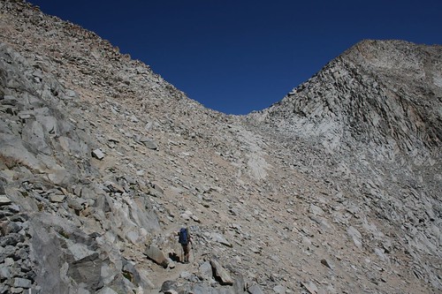
Down, down, down the switchbacks we went. Here’s Brian on his way down, with Mather Pass above him.
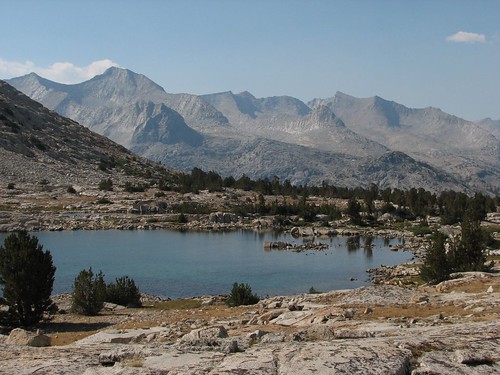
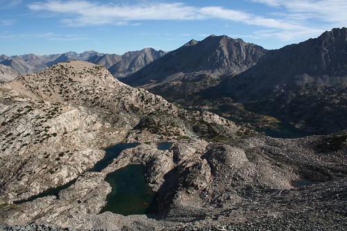
The Upper Basin was dotted with small tarns and rocks.
We finally found a stream large enough to filter water in and stopped for our oatmeal breakfast, even though it was closer to lunchtime than breakfast time.
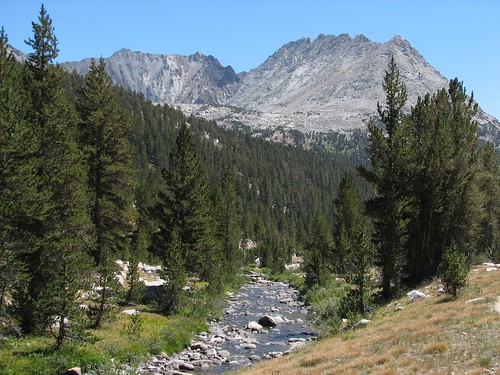
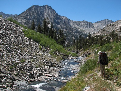
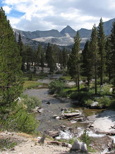
The streams from the tarns converged and continued to get larger as we descended into the valley. We followed this stream, the beginnings of the South Fork Kings River, for several miles.
A little further on, we found a lovely spot beside the river for one of our many breaks of the day.
After crossing river, we began our ascent to the Bench Lake area. Bench Lake was supposed to be beautiful, with early morning reflections of Arrow Peak. However, it’s two miles off the JMT and we’d seen lots of beautiful lakes so we decided to skip it for this time. There are oodles of interesting-sounding side trips from the JMT. Another time, it would be fun to take more time to do the trail again and take some of the side trips.
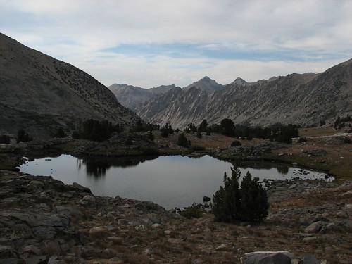
Passing the junction for Bench Lake, there was another unnamed tarn.
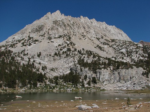
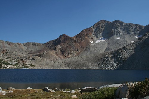
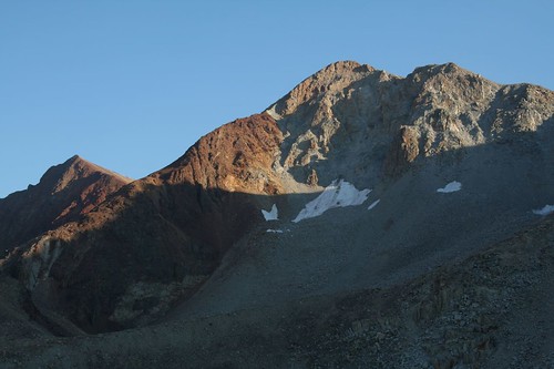
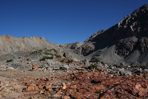
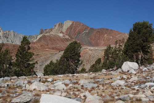
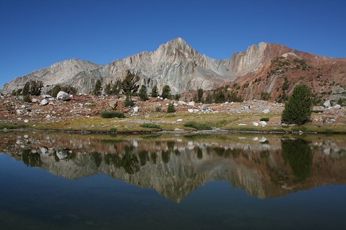
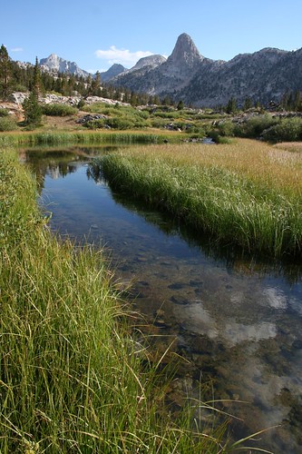
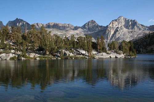
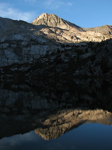
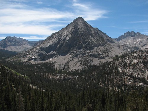
The trail continued up towards Marjorie Lake, with views of colorful volcanic rock mountains.
Before too long, we were crossing the outlet to Marjorie Lake.
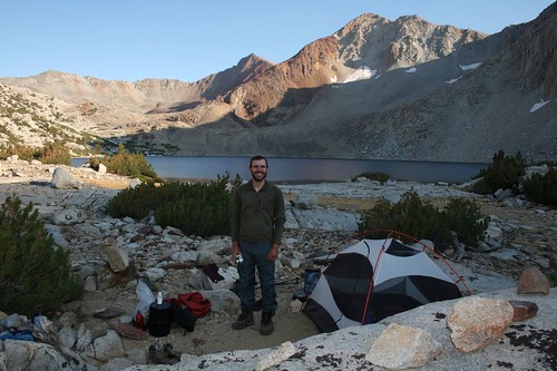
We were planning to hike a bit above the lake to camp, but when we got to Marjorie Lake, it looked like an enticing place to stay, and we weren’t sure what the water supply would be like closer to the pass.
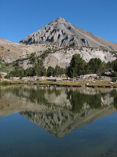
We decided to make it a short day – it was only 4:30 PM. That gave us plenty of time to enjoy the lovely surroundings. Brian filtered water and took photos of the lake.
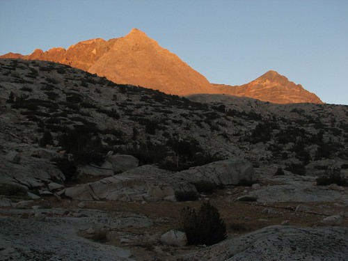
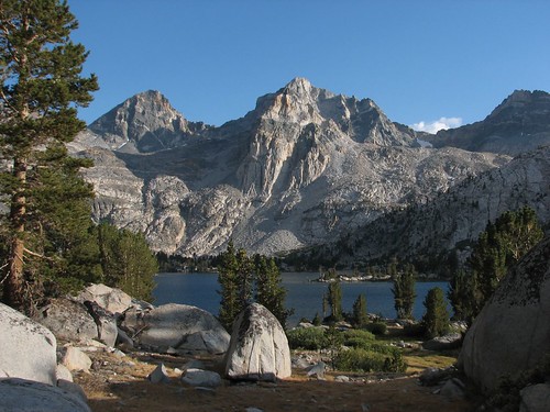
We cooked dinner by the lake (and managed to keep the soup in the pot) and took more photos of the lake and the colorful mountains around it. Here, Mt. Pinchot is on the right and Mt. Wynne is on the left.
After dinner, we took a quick dip in the pond and attempted laundry. Despite laundry attempts, it seemed that our clothes just got dirtier and dirtier until it was entirely hopeless. Nonetheless, the dip was refreshing, though we envied the guys camped nearby who had a solar shower with them. That looked luxurious.
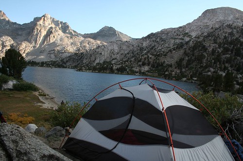
It was another clear night so we set up our tent again without the rainfly so we could enjoy the stars.
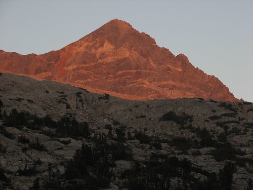
As the sun started to set, Sarah sat in a rock behind the tent that seemed like it was made to be a chair. The colors on the rock got prettier and prettier.
When the sun was down, it was time to call it a night. We’d hiked 10.4 miles, bringing us to 157.2 miles into our trip.
We were up early the next morning because we had another big pass ahead of us – this time it was Pinchot Pass. The sun was just barely rising over the mountains as we packed up to start hiking.
With that, we were off for the day at 6:30 am! That was a new record for our earliest start. Sarah really enjoyed the soft light of the early mornings, which made for great hiking and photography.
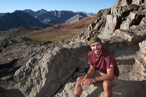
Not surprisingly, given our early start, we were the first people over the 12, 130’ Pinchot Pass that morning. Brian sat to enjoy a snack before the rest of the morning crowd arrived.
Shortly after we arrived at the pass, we met Doug and Mike, the guys with the solar shower. They were both in their fifties and were retired San Diego firefighters. Their packs were quite light, but they still managed to pack a few luxuries: the solar shower, a GPS, solar panels to charge batteries for the GPS and their water purifier, and a fishing pole. We’d be seeing a lot of these guys over the next few days, but for now, we just exchanged photo-taking services.
Then we took a photo looking down the other side of the pass before continuing along.
From below, here’s the view looking back at Pinchot Pass.
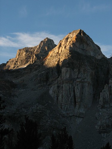
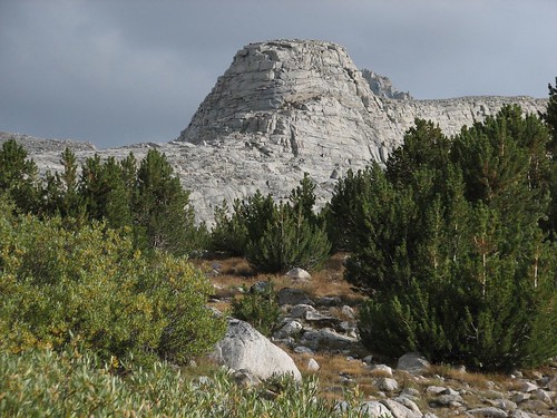
Crossing big passes every day is fun because there are always new, amazing views.
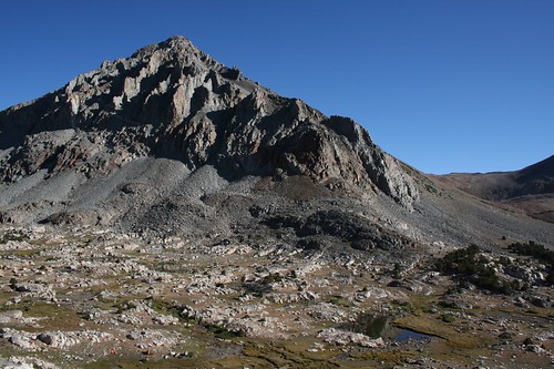
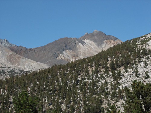
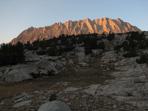
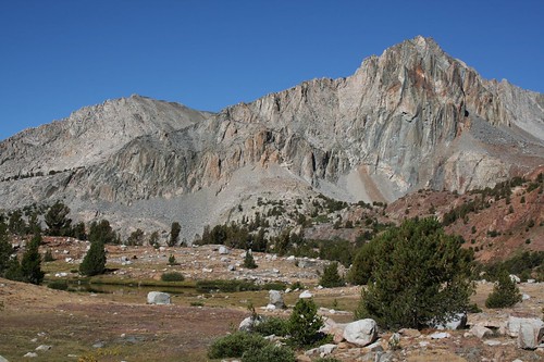
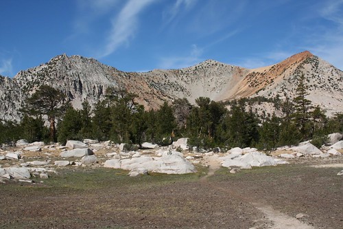
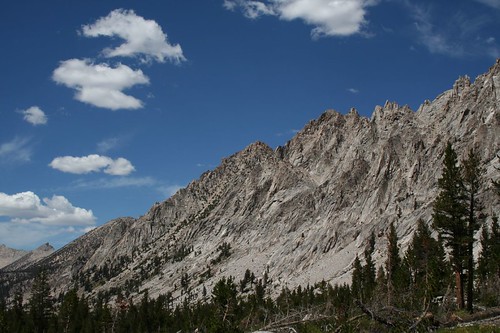
We hadn’t eaten a full breakfast before leaving camp, so we were scouting for a water source that looked clean enough to filter, which took longer than expected. In the meantime, there were more colorful mountains.
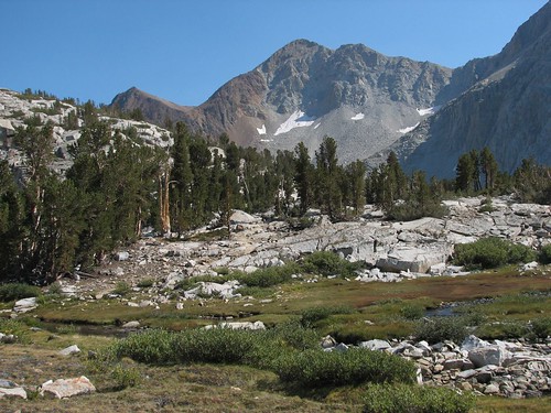
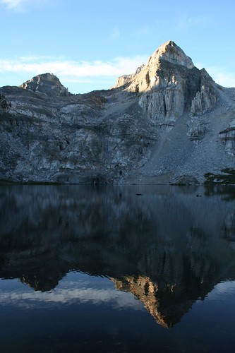
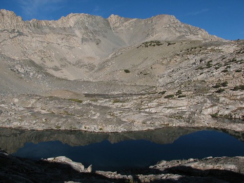
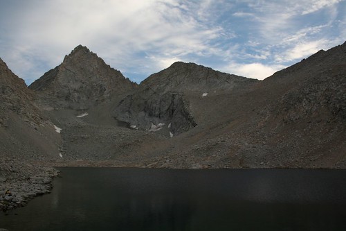
We finally found a small pond just off the trail and decided it would be good enough, since Brian was ravenous.
It turned out to be a lovely spot to stop, with amazing mountain reflections.
We ate a double portion of oatmeal – a heaping pot full – before continuing on.
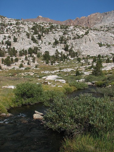
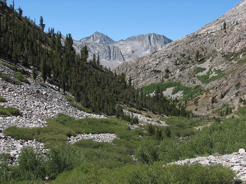
From here, the trail dropped down to follow Woods Creek for a while.
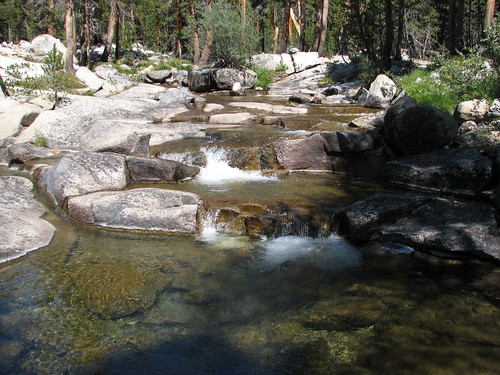
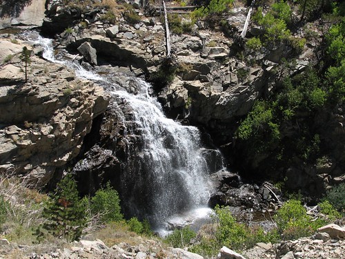
It was really hot and there wasn’t a lot of tree cover. Partway down, there was finally a nice large tree offering shade with a view of a waterfall.
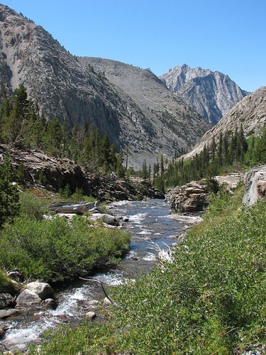
Rejuvenated after our break in the shade, we continued down the creek, past a moraine.
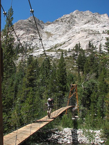
After descending awhile longer, we came to a rather bouncy suspension bridge which is known as the “Golden Gate of the Sierras”. The periodic broken boards didn’t inspire confidence, but we proceeded across nonetheless.
A bunch of people on the other side of the bridge were filtering water. This was one of the busiest days on the trail since we’d left Yosemite.
From here, the trail turned up towards the Rae Lakes. The Rae Lakes area is one of the most popular backcountry areas in the Sierras, making it sadly overused. It’s easy to see why it’s popular though, as it is relatively accessible for shorter trips and quite beautiful.
Here’s the view heading up the trail.
And here’s the view looking back to the mountains across Woods Creek.
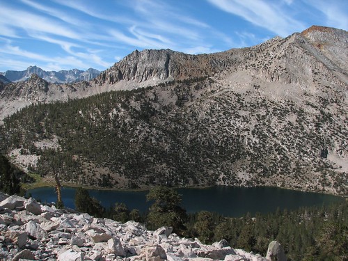
After a brisk climb, we reached Dollar Lake. Dollar Lake is known for reflections of the Fin Dome. It was too windy while we were there for reflections, but we took a photo anyway.
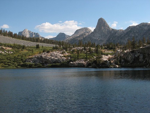
We’d planned to camp at Dollar Lake, but it was still early so we pressed on to position ourselves closer to the next pass. We’d heard rumors of monsoonal moisture hitting the area the next day, which in the Sierras means afternoon thunderstorms, so we wanted to make sure we could easily be over the pass early in the day.
Past Dollar Lake, we turned to look back on it.
After Dollar Lake we passed through a pretty meadow that also afforded nice views of the Fin Dome.
Next up was Arrowhead Lake.
Then we reached the first of the three Rae Lakes.
By the time we reached the middle Rae Lake, we were ready to call it a day. We found a spot above the lake that was just big enough to pitch our tent. It was one of our favorite campsites yet.
We’d hiked 15.2 miles and were now 172.4 miles into the trip.
Friday morning, we saw the Rae Lakes really shine. The morning reflections were just amazing. We spent a lot of time enjoying the views as we slowly made our way up toward Glen Pass.
It took us a long time to cover the first mile or so because we kept stopping for photos.
The Painted Lady was especially photogenic.
Another beautiful reflection:
There were also views of the Fin Dome.
Finally we took one last shot of the Painted Lady and began our climb to the pass in earnest.
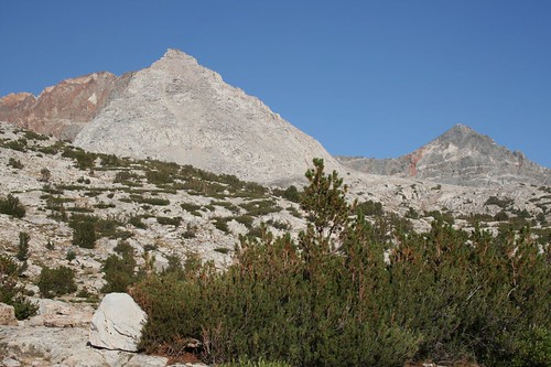
Initially, we climbed through vegetation, but soon the vegetation was replaced but pure rock.
The pass loomed ahead.
Continuing up, we passed a tarn.
We finally reached Glen Pass, with views to the Rae Lakes on one side and yet another unnamed tarn on the other side.
Mike and Doug had motored up the pass ahead of us. They claimed that old legs only go fast downhill, but they seemed to be beating us both uphill and downhill.
They kindly took our photo at the top of the pass.
We also chatted with a guy who was fishing for his dinners. He said a dinner of fish fried in Cajun spice, brown sugar, garlic, and oil was fantastic. And to drink, he mixed Tang with Bacardi 151, which he said tasted amazing. But then he admitted that he’d always wanted to try the Tang and Bacardi at home to see if it actually tastes good anywhere except on the trail. In response to the talk of fishing, Doug told us how the last time he’d hiked the JMT, he’d packed nowhere near enough food, and he and his hiking partner survived on fish for most of the trip. They lost 25 pounds each!
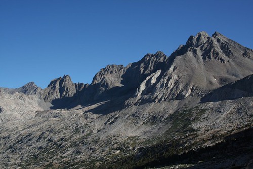
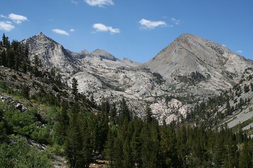
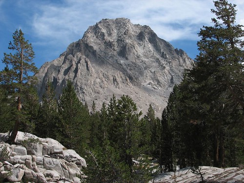
After the requisite chitchat at the pass, there were more amazing mountains in our future.
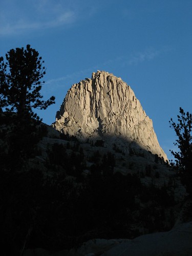
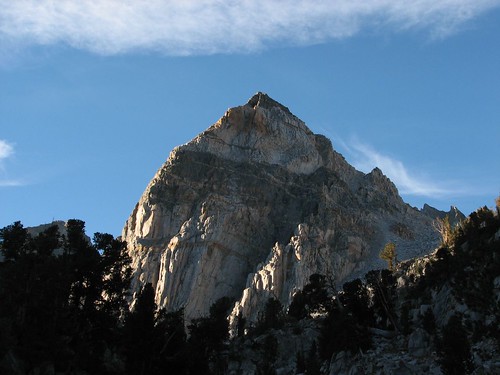
After the pass, Charlotte Lake was the next major attraction. We could see Charlotte Dome before the lake.
Then Charlotte Lake came into view.
The trail didn’t actually go to Charlotte Lake, but the little meadow where the spur turned off was pretty. The mountain in the back is Mt. Bago.
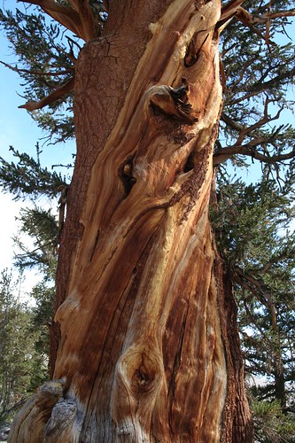
Moving along down the trail, there were lots of interesting swirly trees.
We also soon had views of the Vidette peaks. This one is East Vidette.
The Kearsarge Pinnacles towered above us to our left.
Then Center Peak came into view.
All the while, we were following Bubbs Creek.
Meanwhile, the weather ahead of us was looking more and more menacing. Around mid-afternoon, we decided to hang out at a creek just below treeline to see what the weather would do. While we were there, we cooked an early dinner. Around five, the clouds finally seemed like they were starting to break up, so we packed up and continued along.
The views quickly opened up.
The Kings-Kern Divide loomed ahead.
We passed a campsite with a large group from New Hampshire who stopped us to chat. We were about to continue along when Doug and Mike popped up giving us a “grandfatherly” warning that there wasn’t much ahead until the pass. Since our guidebook said there were some small tent sites ahead, we decided to continue along anyway.
The clouds were generally breaking up but still looked a bit ominous in this direction.
As we climbed, the vegetation became increasingly sparse.
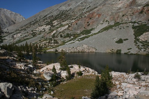
After a quick and pleasant climb in the cool evening air, we reached Lake 12,250.
Our guidebook was true to its word, and we found a few tiny sites with views of the lake and Junction Peak behind it.
There was only one other camper at the lake that night, a man named Gil. He was hiking the southern half of the JMT by himself. We chatted for a while, comparing pack weight and food choices. He’d chosen to hike without a stove which we’d been wishing we’d done. It sounded like he was eating much of the same stuff that we were – granola, trail mix, etc. – just more of it instead of a warm dinner. He was also drinking an ounce of olive oil a day. It sounds nasty, but he said it’s a pretty effective way to get some fat calories.
As the sun set, the sky continued to clear and we had a calm and cool evening. We’d hiked another 13.4 miles, and with 185.8 miles behind us, we were nearing the home stretch. Tomorrow we’d tackle the famous Forester Pass.
2 comments:
That is one awesome trip.
You bring it so alive here on blogger. Thanks for sharing it.
I've been on several sections of the JMT and have covered about one-third of it. You all are good packers and journalers. Kudos!
Post a Comment