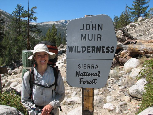
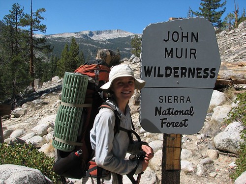
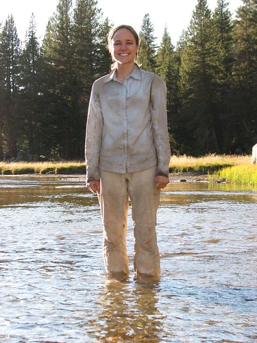
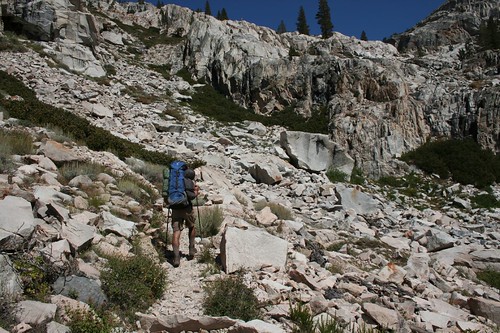
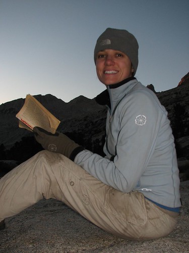
Here’s a profile shot of Sarah, showing off her big pack.
Muir Trail Ranch was our last resupply, so we consoled ourselves with the thought that our packs would only get lighter as we ate down our food.
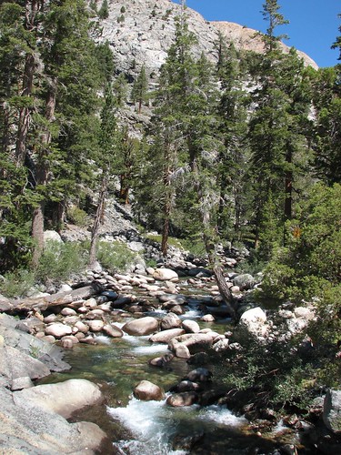
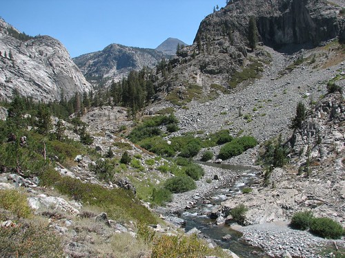
We admired rocky Piute Creek from the bridge.
Then after the crossing, we entered Kings Canyon!

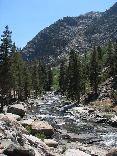
After the crossing, we resumed our gentle climb up the South Fork San Joaquin River.
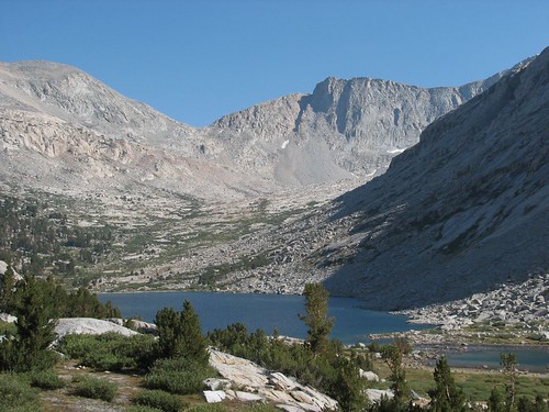
Then we hung a left, crossed the San Joaquin, and began our climb into Evolution Valley. We’d been hearing from other JMT hikers since the start of our trip that Evolution Basin was one of the prettiest areas of the whole hike – more beautiful than anything in the first half, which was quite a compliment, given that the first half was amazing. So we were definitely looking forward to it.
Evolution Valley is a hanging valley, formed by two racing glaciers. The glacier that carved Goddard Canyon, through which the San Joaquin travels, moved south to north in this area, and eroded the canyon floor at a faster rate than the glacier that carved Evolution Valley, which was moving east to west. So at the point where the path of the Evolution glacier intersected the faster-carving glacier, there’s a steep drop-off – hence, Evolution Valley is “hanging” up in the air. Evolution Basin was still higher, as the result of another of these glacier races, and we planned to hike up there the next day.
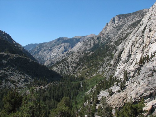
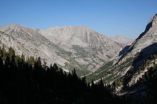
What this meant for us was that the terrain abruptly changed from gentle to quite steep, as we left the San Joaquin behind and began climbing into Evolution Valley. Here’s one last view looking back at the San Joaquin valley:
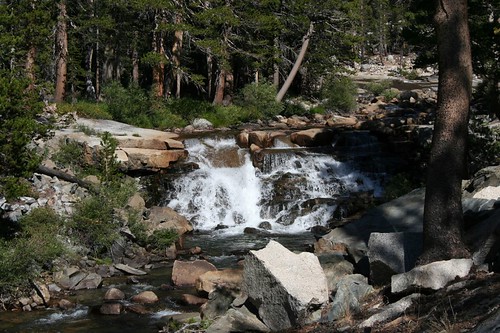
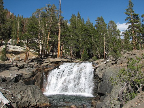
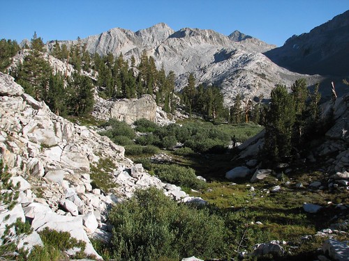
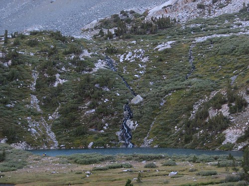
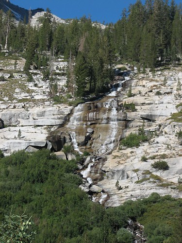
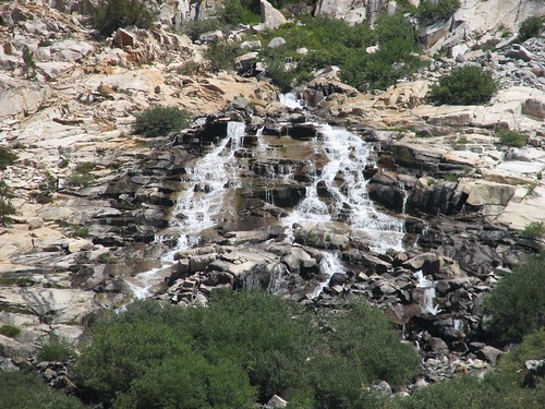
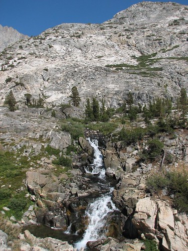
Compensating for the steep climb was the fact that although Evolution Basin was supposed to be the main attraction, Evolution Valley was amazingly pretty in its own right. Evolution Creek tumbled down metamorphic rock, resulting in many picturesque cascades.

At one point, the trail crossed Evolution Creek, and the best route wasn’t clear. It was an easy creek to ford, but we didn’t really want to get our feet wet, especially with Brian’s foot wound. It looked like we could almost hop rocks across the creek, but not quite. Then we noticed two side-by-side downed trees spanning the creek and a path along the creek to the trees, so we figured that was probably the way to go. Unfortunately, one of the trees wasn’t stable at all – it rolled quite a lot from side to side. Sarah made it across without too much trouble. Then Brian tried to cross the creek stepping only on the stable one of the two trees, meaning that he shuffled sideways, tapping the rolling tree with his poles for stability. He was doing OK until Sarah started laughing at his unorthodox and wobbly methodology. That was almost enough distraction to send him into the creek, but he regained his footing and hurriedly finished the crossing without incident. In hindsight, we should have just forded it.
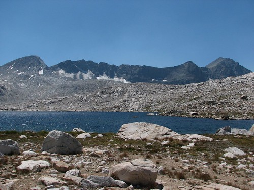
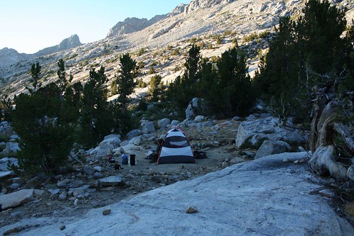
After hiking 10.7 miles for the day, we reached McClure Meadow, which seemed like a nice place to stop. We found a campsite in the trees near Evolution Creek that afforded a fantastic view:
The views got even prettier as we approached the creek:
The creek looked enticing but Brian still had an open wound from his blisters. Fearing infection, he stayed out of the water and he filtered water while Sarah waded.
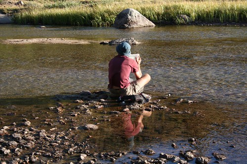
Brian’s perch on a rock in the middle of the creek afforded a nice view up the creek. The peak on the right is called the Hermit. The one on the left is Mt. Mendell.
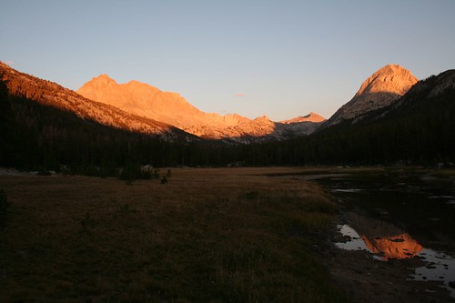
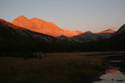
Sunset in the meadow lit the rocks in a beautiful orange color.
That night, we had planned to hang a small bear bag, since we expected to have just a little bit too much food and toiletries to fit into our two bear canisters. Since counterbalancing requires a tree branch at least 25 feet high, the hardest part of stringing up a bear bag is to get the rope over the branch. Brian had done this early, to avoid having to do it in the dark, but then when Sarah tried to pack as much as possible into the two bear cans, we realized that we had way more food and toiletries than we had thought, and the small branch Brian had picked wasn’t going to be strong enough. So we hunted around in the fading light, found a new branch, and after a few misses, eventually got the rope over the branch in the dark. We strung up the bear bag and wondered what we were going to do the next night, when we would probably still have too much food and toiletries for two bear cans and might very well be camping around tree line.
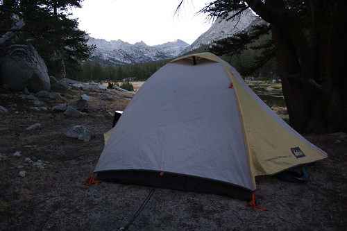
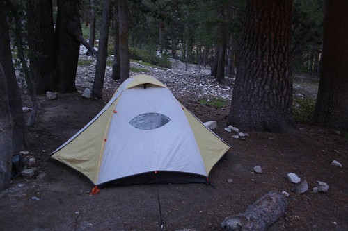
In the morning, we took a picture of our lovely campsite.
We ate a breakfast of granola rather than our usual oatmeal, figuring that granola was less dense than oatmeal, so eating it first would free up more bear can space.
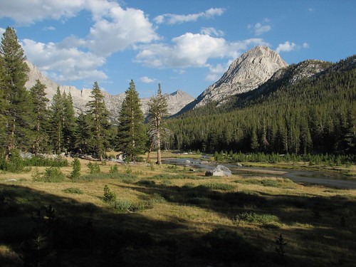
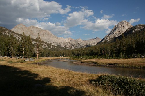
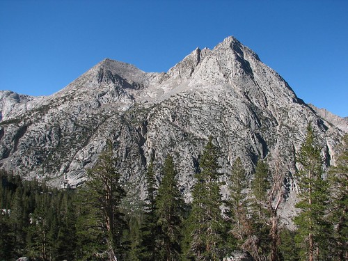
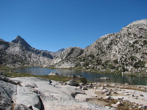
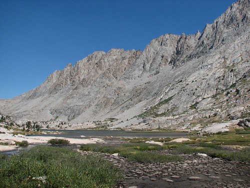
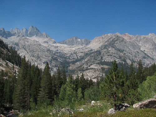
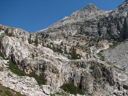
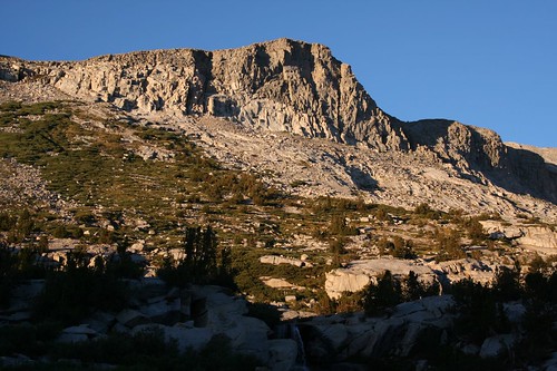
As we hiked up toward the much-anticipated Evolution Basin, we got some nice mountain views along the way.
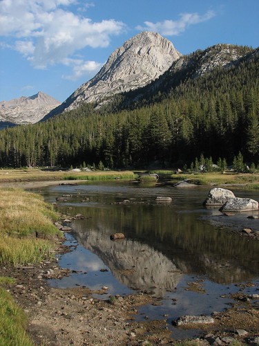
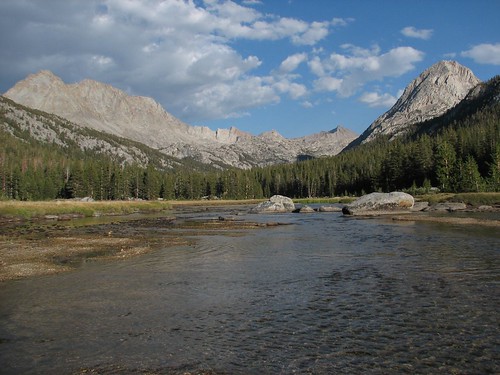
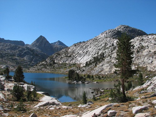
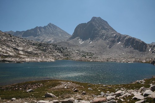
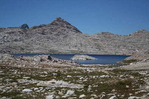
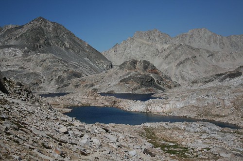
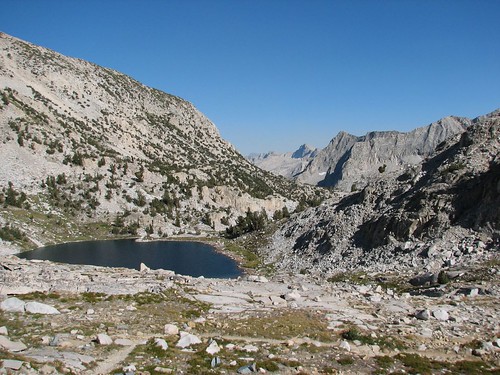
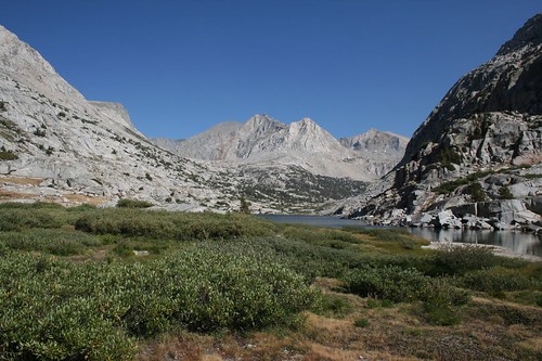
Shortly after that, we arrived at Evolution Lake.
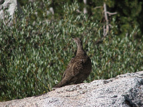
As we continued hiking up the lake, a large bird was hanging out on a rock, facing away but still keeping an eye on us.
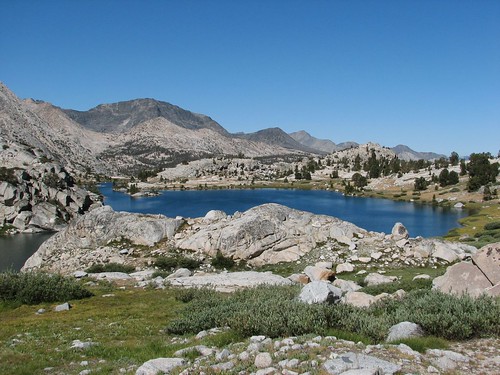
We hiked up to the middle of the lake and sat for a while, snacking and enjoying the great view.
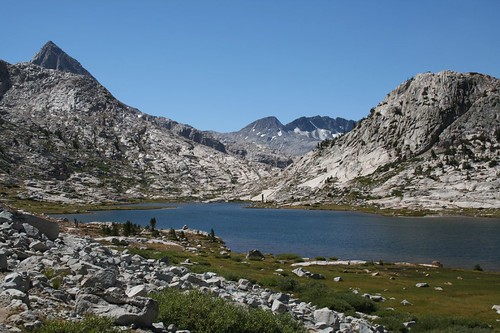
Eventually, we pulled ourselves away from our snack spot and continued hiking along the lake.
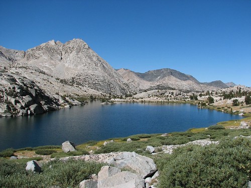
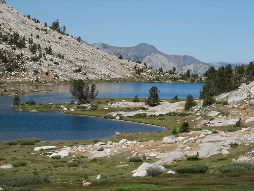
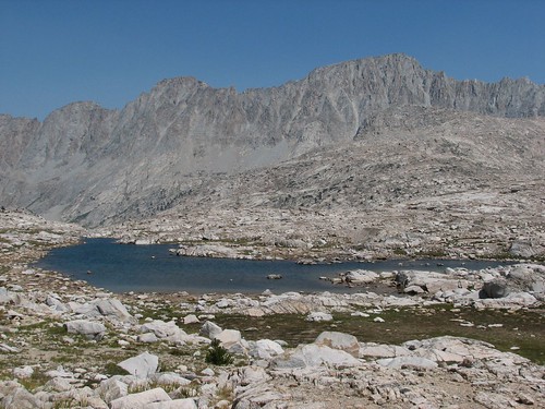
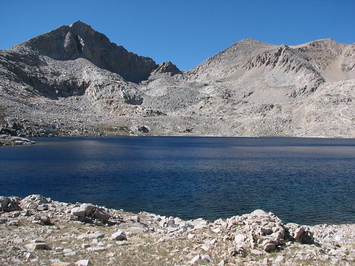
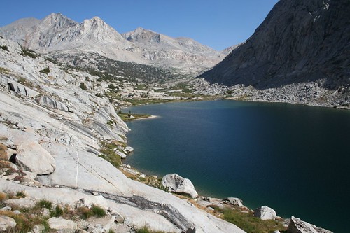
Next up after Evolution Lake was Sapphire Lake, not quite as photogenic maybe, but still pretty.
Unfortunately, about this time, we started smelling smoke and the visibility was noticeably decreased. We were hoping that there wasn’t a forest fire that would cause us to turn around. We heard later in the day that it was a fire near Tehipite, which thankfully wasn’t on our route.
Next, we passed a couple of small tarns.
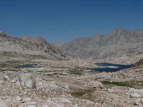
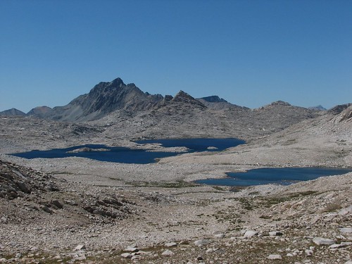
And finally, the biggest of the Evolution Basin lakes, Wanda Lake, named for one of John Muir’s two daughters.
After Wanda Lake, we passed Lake McDermand, and ascended toward Muir Pass, which would be our highest point on the journey so far. Here’s Sarah, standing above Wanda Lake on the left and Lake McDermand on the right, as we neared the pass.

And finally, we were there! We found a little brick hut at the top, built in the 1930s in memory of Muir.

The inside smelled strongly of tuna from some previous hiker with a preference for stinky food, so we didn’t spend long inside. Staying outside allowed us to enjoy the great views anyway.
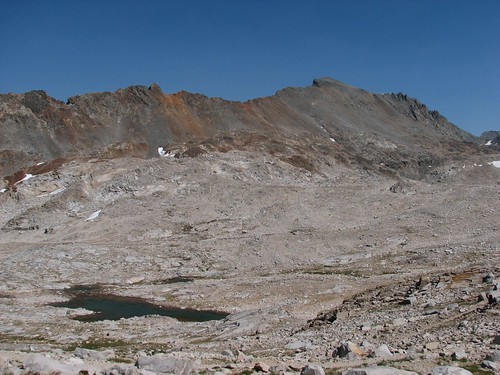
Looking back, we could still see Wanda Lake and Lake McDermand.
Looking forward, we could see some colorful mountains.
After a brief break at the pass, we headed down the steep switchbacks on the other side, and were on our way. We found several pretty lakes on the east side of the pass.
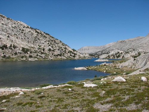
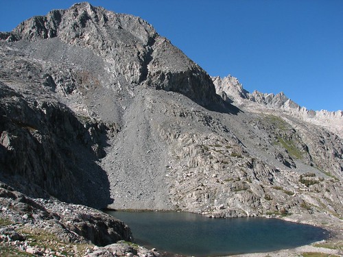
Soon, we arrived at Helen Lake, named for John Muir’s other daughter.
When the day began, we had planned to camp a little ways below Muir Pass. But looking at our maps, we realized that if we hiked a little further today, we’d be in position to camp tomorrow at the Palisade Lakes, which we’d heard were quite beautiful. We were still feeling pretty good, so we decided we’d hike a mile or two past where we’d originally planned to stop.
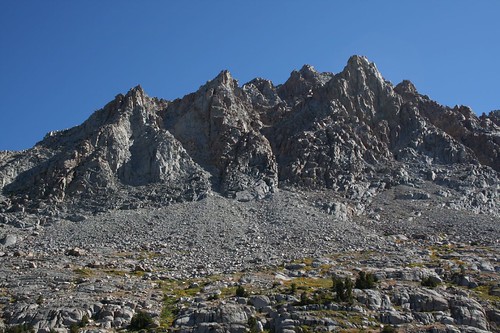
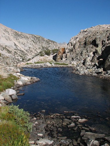
After Helen Lake, we passed several other small but pretty lakes.
As we got below treeline and started following the Middle Fork Kings River, the views changed, with the small lakes replaced by vegetation.
We passed a couple of pretty cascades, too.
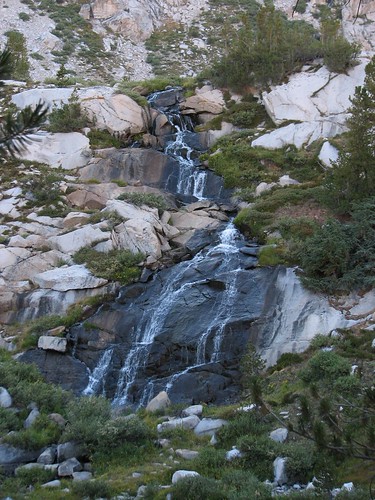
In addition to the wildflowers, another reason to hike the JMT in July is that the waterfalls would be much more impressive. Still, wildflowers and waterfalls aren’t enough to make us want to contend with mosquitoes; we were quite happy that we’d chosen late August for our hike.
We passed one more pretty lake right near treeline, where a couple of morons had set up their tent right on the fragile meadow in front of the lake.
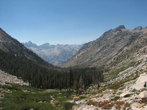
We got a few more open views of LeConte Canyon in front of us before we entered the trees.
We were about ready to be finished at 6 PM, but the campsites were few and far between, and each site we saw was already occupied. Finally, an hour later, we reached a totally unexciting but entirely functional camping area near Big Pete Meadow.
We quickly set up camp and strung up a bear bag with our remaining overflow food and toiletries. One good thing about having hiked longer than expected was that we didn’t have a problem finding a tall enough tree to hang our bear bag. We went to bed exhausted, having hiked 15.5 miles for a total of 135.5.
As we were falling asleep, we heard a loud rumble like thunder. But the skies were clear, and the sound lasted a lot longer than thunder. Eventually, we figured it out – it was a rockslide! It was a bit unnerving but also pretty cool to hear a rockslide from our campsite.
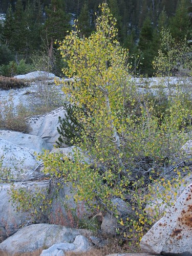
The next morning, we continued our descent down the Middle Fork Kings River, through LeConte Canyon. We noticed that the aspens in this area were thinking it was already fall.
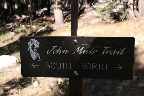
In Kings Canyon National Park, we passed some JMT signs with a cool drawing of Muir. Unfortunately, most of the signs had graffiti on them.
For the most part, as we hiked the JMT, we were quite happy with the time of day that we hit each area. One big difference between day hiking and thru-hiking, or backpacking in general, is the time of day that you see the scenery. On a day hike, you typically hike up through forest for hours before you get to an area with views, and then you hike down through forest for hours to get back to the trailhead. In other words, you see the scenery only in the harsh mid-day light; in the morning and evening, which have the best light, you’re in the trees. On the JMT, we often camped up high in awesome scenery, and even when we didn’t, we were typically only an hour or two away from the amazing scenery.
Because of its steep walls, though, LeConte Canyon is a place to see closer to mid-day. As it worked out, we did most of our hiking through the canyon in shade –in the evening before we set up camp near Big Pete Meadow and the morning after. So we didn’t see it at its best, but it was still pretty.
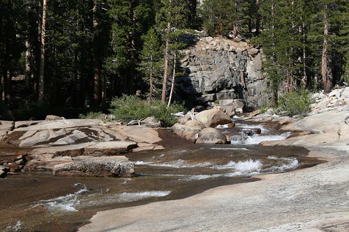
We passed some pretty cascades.
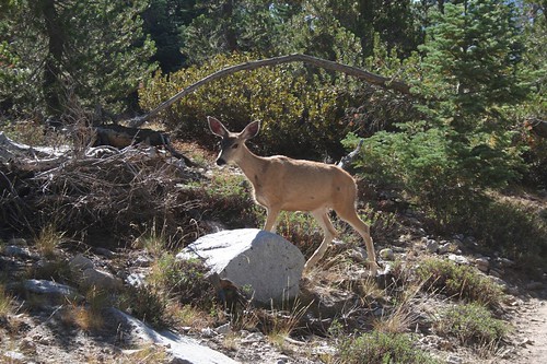
We stopped for a snack break, and suddenly we heard a beating sound like horse hooves. Then four deer appeared – a buck, two does, and a fawn. The adults came to a screeching halt, as they were clearly as surprised to see us as we were to see them. The fawn didn’t seem scared at all, though – it crossed the trail in front of us and then checked us out from the opposite side of the trail. Eventually, the three full-sized deer crossed, too, and they spent some time browsing together in the vegetation near the trail. After a few minutes, they ambled off along the trail in front of us.
After some time, we got up and hiked on. We needed to stop a short time later, and as soon as we did, what should appear but the fawn! It came out of the vegetation and again hung out right beside the trail, checking us out. Unfortunately, we never got a good picture of the fawn, but here’s one of the does:
We hiked through forest for most of the next two hours before the views opened up.
We continued to hike, leaving the Middle Fork Kings for Palisade Creek, and we started to ascend. Coming up was a steep 1500-foot climb up the Golden Staircase, which was the last section of the JMT built, completed in 1938. We stopped at Deer Creek to fill our water bottles before the ascent.
As we started to climb, we realized that although the Golden Staircase is strenuous, it offers fantastic scenery to compensate for the hard work. Here’s the view looking back down the Palisade Creek valley:
We also saw more pretty cascades.

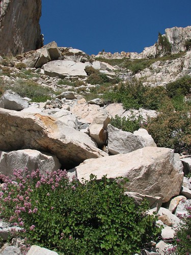
Near one of the cascades was a burst of purple in the golden-colored rock – a bit of fireweed, growing straight out of the rock!

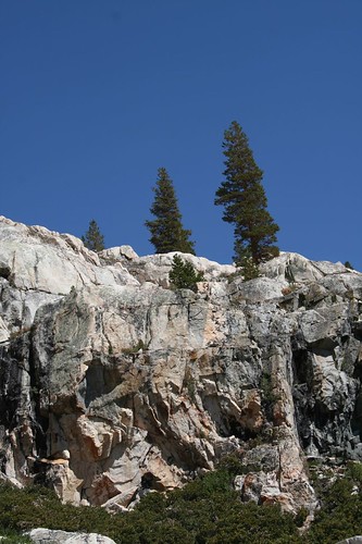
Even trees didn’t let the seemingly inhospitable conditions stop them from taking root.
It looked like a nearly impossible place to route a trail. Clearly, much of the trail had been blasted out of the rock.
Brian typically led the way on steep uphill stretches like this one. His approach is to hike quickly and take long rest breaks, while Sarah’s approach is to hike slowly but steadily with fewer breaks.
The Golden Staircase has about 50 switchbacks, with some of them just a few paces long. Here’s Sarah turning the corner on one of the crazy stretches of tight switchbacks:

Brian found a nice smooth patch of rock with fantastic views and took a load off his feet while he waited for Sarah to catch up and take his picture.

We found yet another pretty waterfall.
And then we were there – Lower Palisade Lake!
The lake had some pretty campsites at its outlet, but we’d heard about the campsites overlooking the upper lake, so although we were a bit tired after our Golden Staircase climb (actually, Brian was a bit tired; Sarah was exhausted), we pressed onward.
After walking the length of the lower lake, we were soon looking down on Upper Palisade Lake.
We walked about half of the length of the lake and then found an amazing campsite near a creek that feeds the lake. The creek was running pretty hard, right over the rock, and made for nice background noise. It wasn’t especially cold out, and we’d been amazed by the stars on previous nights, so this time, we decided to try camping without the rainfly on our tent.
We made dinner, and Sarah, still woozy from the steep climb up the Golden Staircase, accidentally dumped an entire bowl of soup on the rocks. We ate what we could directly off the rocks – it was a creative new way to serve soup – but when we started crunching on tiny rocks that had gotten mixed in with the soup, we decided it was time to bag up the rest of the soup to carry it out. Bummer that we didn’t get to eat it all – it was good soup. The bigger bummer, though, was that now we’d need to carry the soup with us, since we couldn’t very well leave it in the alpine area around the Palisade Lakes.
After the dinner snafu, we enjoyed the sunset light on the mountains around the Palisade Lakes.

We continued to hang out outside, even after the sun had set – a late night for us!
We’d hiked 13.3 miles for the day and 146.8 total, and we slept peacefully under the bright stars and the Milky Way.
The next morning, we woke up to find small bites taken out of our roll of toilet paper, which we keep bagged up in a Ziploc bag in Sarah’s pack. We hadn’t had any problems with bears (at least, not in the backcountry), but some sort of rodent had attacked our toilet paper! Fortunately, it didn’t make too much of a mess. Sarah cleaned up her pack, and we ate a quick snack so that we could get to Mather Pass, just a few miles ahead, planning to make our real oatmeal breakfast on the other side of the pass.
2 comments:
what a great trip!
You've done a great community service here and I'm talking about the community of backpackers. Wonderful. Thanks!
Post a Comment