Tuesday, July 22, 2008

Yellowstone

After finishing up our backpacking trip in the Black Canyon of Yellowstone, we drove to the Mammoth Hot Springs area of the park. We ate lunch at a picnic table in the area and then did the scenic boardwalk tour of the area’s geothermal features.

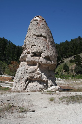
This cone from a now-defunct hot spring was the first stop along the boardwalk. At the time, the name seemed like it would be easy to remember, but after seeing dozens of geothermal features all the names run together.
IMG_4737
Here, the hot, mineral-filled water runs down a hill.
IMG_4738
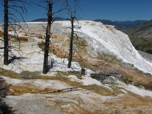
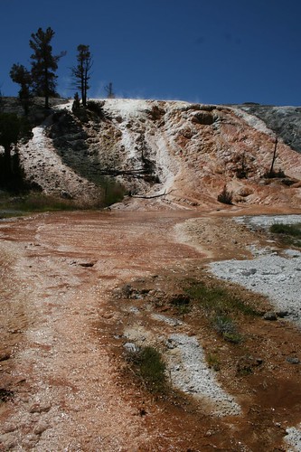
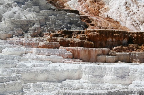
Further along, we saw Devil’s Thumb and Minerva Terrace. The white formations are formed by calcium left behind from water flow. The hot water flowing to the right of the photo is colored by thermophiles living in the water.
IMG_4741
IMG_4743
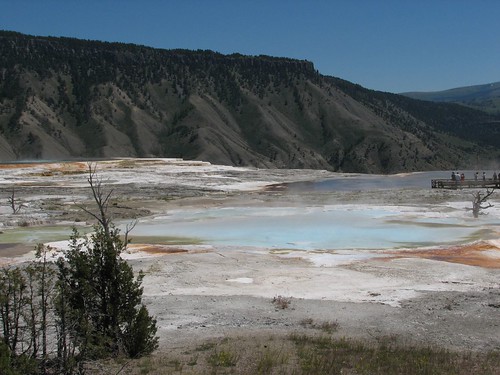
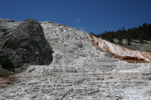
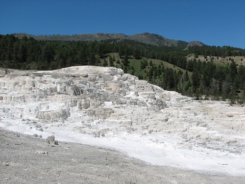
Here are the views from the top of the boardwalk, looking out across the hot spring terraces.
IMG_6079
IMG_6080
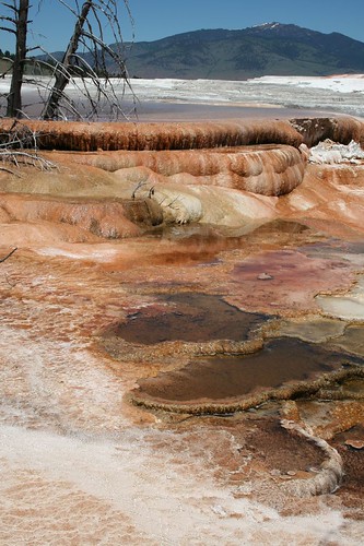
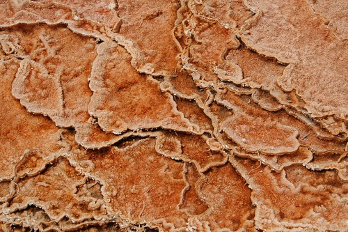
This is a close-up of the water and formations in an active spring.
IMG_4748
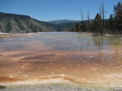
Continuing along the boardwalk, we got a view of the colorful Canary Springs.
IMG_6086
IMG_4753
IMG_6088
Back in the car, we continued around the main park loop down toward the Old Faithful area. Along the way, we stopped to see just a few of the numerous roadside sites.

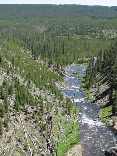
This is Gibbon Falls and the view down the valley from the falls.
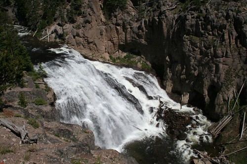
IMG_4765
IMG_6099
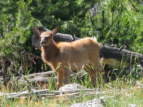
Of course, we had to make some stops for wildlife jams as well. These elk were hanging out right beside the road and crossed just in front of us.
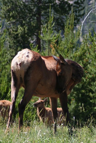
IMG_4780
IMG_6104
IMG_6108
Next, we detoured down the Firehole Canyon Road, hoping to have a dunk in one of the few legal swimming holes in Yellowstone. Sadly, it was closed due to high water. Even if we didn’t get to swim, we did get some good views along the drive.
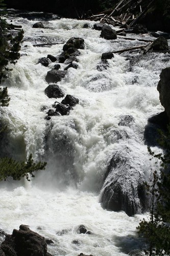
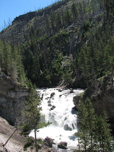
IMG_4787
IMG_6119
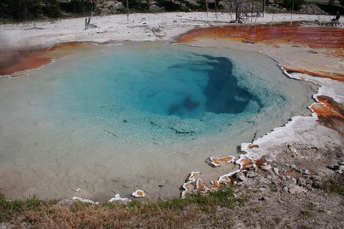
Our final stop before Old Faithful was the Fountain Paint Pots area. This area had no fewer than four tour buses and several dozen vehicles (which is actually nothing compared to Old Faithful Village). The up-close views of brilliantly colored thermal features made braving the crowds worthwhile though.
IMG_4794
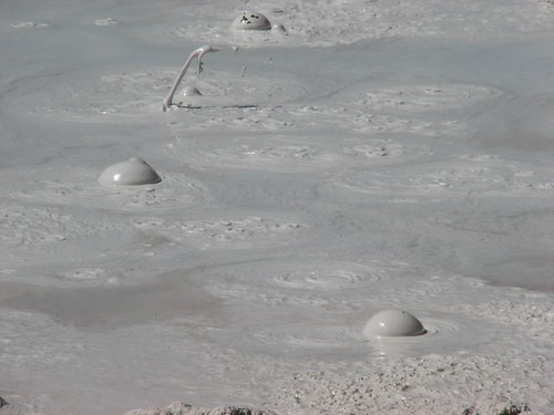
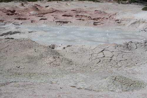
The mud paint pots were especially cool.
IMG_4797
IMG_6134
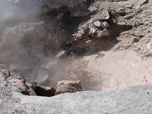
Here’s another bubbling mud geyser:

IMG_6207
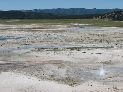
The view across the geothermal flats:
IMG_6246
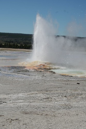
We also stood for a while watching Spasm Geyser shoot off.
IMG_4814
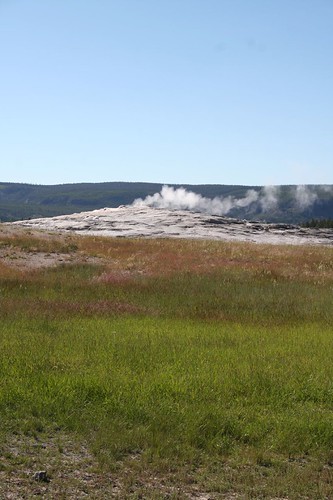
Next stop was Old Faithful. Unfortunately, when we arrived the geyser had just erupted. Since Old Faithful erupts approximately every 90 minutes, we had awhile to wait until the next eruption. Fortunately, the Old Faithful Lodge offered cheap showers (only $3.25 for an unlimited hot shower!), so we put that time to good use.

Freshly clean, we joined the hoards waiting patiently for Old Faithful.
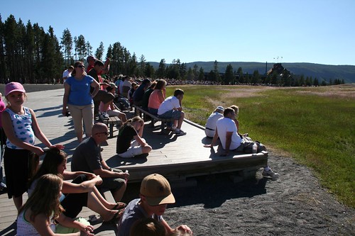
IMG_4817
IMG_4815
Old Faithful put on quite a show (the best one of the day, by several nearby watchers’ assessments):
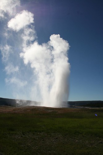
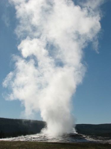
IMG_4827
IMG_6263
There are a number of other geothermal features within easy walking distance, but at this point it was after 6 pm and we still had a longish drive back to the campground, so we decided to call it a day for sightseeing. Yellowstone is so huge that unless you have an incredible amount of time to spend there, you’d never see it all anyway.

We set up camp for the night at Grant Village, a campground in the park run by the concessionaire Xanterra. In typical Xanterra fashion, nothing is fast and it took us seemingly forever to get through the line to get our campsite. We set up camp and made dinner before diving into the tent to avoid the mosquitoes.

The next morning, we planned a day hike to Heart Lake. First, we set up camp at nearby Lewis Lake so we’d be sure to have a place to stay when we returned from our 15-mile hike out to the lake and back.

When we arrived at the trailhead, we noticed this odd sign.

IMG_4830
This was something new. We weren’t sure if it was serious or someone playing a practical joke, but just to be safe, we removed our wiper blades anyway.

The Heart Lake trail is through an area of the park that burned during the infamous summer fires of 1988. The landscape is regenerating, but marks of the fire are still very visible.
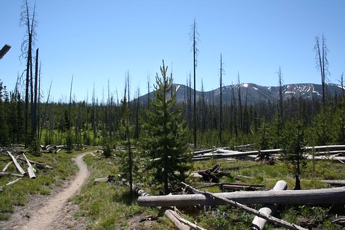
IMG_4831
The hike turned out to be horrendously buggy, hot, and with relatively unchanging scenery. We hiked at a very fast clip, trying to outrace the bugs, for over an hour before we decided it just wasn’t worth it and turned around. We were very glad that the backcountry campsites had been full when we were planning our backcountry trip, so we didn’t get stuck overnight in the bugs. The lake may be beautiful, but it would take a lot to make up for the overwhelming number of mosquitoes and the unexciting trail there.

With our newfound free afternoon, we hung out and did a much-needed load of laundry at Grant Village. Then we started driving north, planning to see Yellowstone Falls and do some wildlife viewing at Hayden Valley.

Along the way, we stopped at the West Thumb Geyser Basin. The basin is gorgeously situated along Yellowstone Lake and has some of the most brightly colored thermal features we saw.

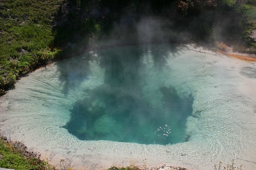
Here’s Bluebell Pool:
IMG_4837
IMG_6273
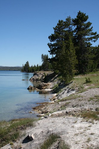
Looking down Yellowstone Lake from the West Thumb Geyser Basin boardwalk:
IMG_4839
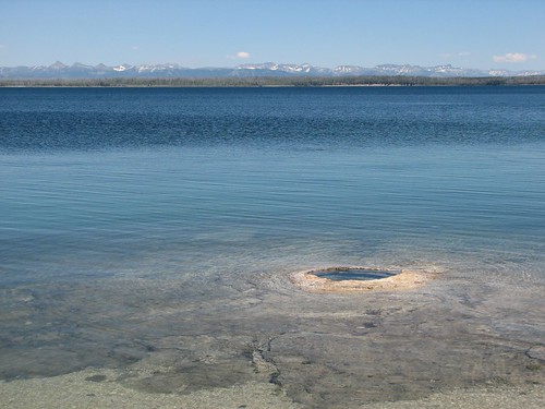
The Big Cone geyser (presumably, more impressive when the water levels are lower):
IMG_6283
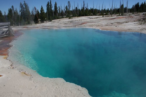
Perhaps the most beautiful pool was the oddly named Black Pool, a sprawling expanse of brilliant blue:

IMG_4847
IMG_4848
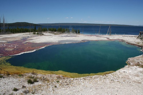
The Abyss Pool and its runoff were also stunning.
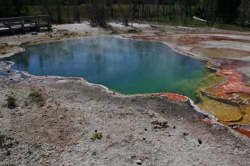
IMG_4849
IMG_6285
IMG_4852
Finally, a view of the whole geyser basin overlooking the lake:
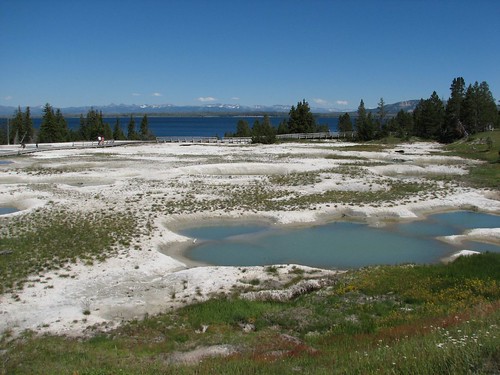
IMG_6292
Back in the car, we didn’t get far before being stopped by a buffalo jam.

IMG_6293
These creatures are common throughout the park and are apparently the most common cause of wildlife-induced visitor injuries. Somehow, people think these enormous creatures are docile (though they weigh thousands of pounds and can run 30 mph) and thus do stupid things like trying to pose with them for photos.

Our next stop was the Mud Volcano.
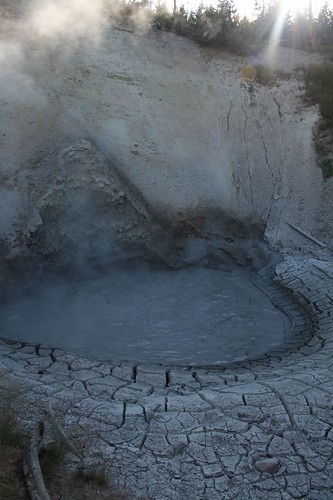
IMG_4862
IMG_4861
Also at that stop, we saw the Dragon’s Mouth.
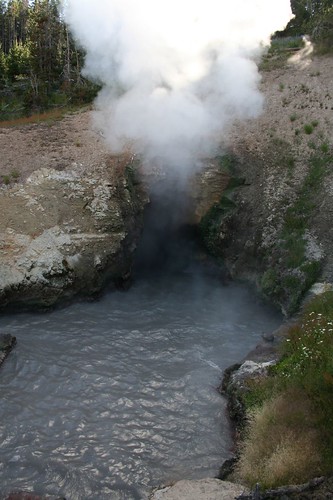
IMG_4864
The site wasn’t as cool as the whomping sound emanating from the cavernous “mouth”.

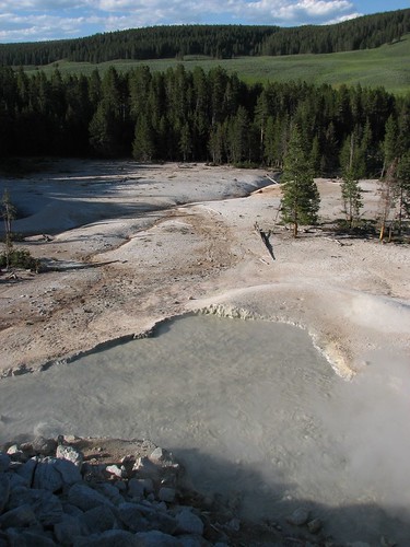
Just a bit up the road, we stopped for the roadside viewing of the Sulpher Cauldron.
IMG_6297
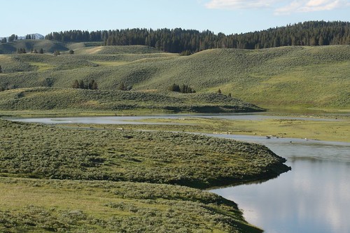
From here, we entered the Hayden Valley area, which along with Lamar Valley (in the northeast corner of the park), is one of the premier wildlife viewing areas in the park. It was worth a drive for the landscape viewing alone.
IMG_4875
IMG_4877
People set up high-powered scopes at the turnouts along this section of road and hang out for hours near dawn and dusk to catch a glimpse of wildlife in the distance. One nice family was set up on a hill and let us look at a grizzly sow and cub in the distance where the meadow met the treeline (i.e. four to five miles away).

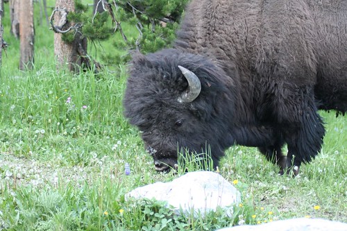
Up closer to the road, we saw several herds of elk and more buffalo.
IMG_4881
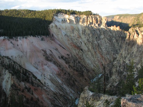
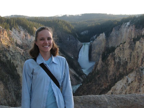
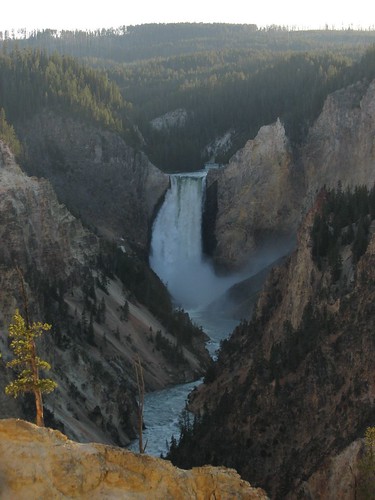
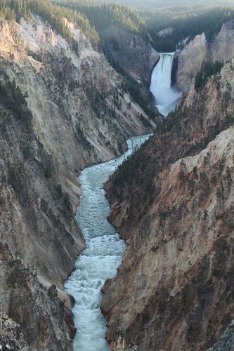
When we finally got to Yellowstone Falls, it was getting late so we didn’t stay long. We did walk out to Artist Point for a quick view of the amazing canyon and Lower Yellowstone Falls.
IMG_6305
IMG_4892
IMG_4891
IMG_6311
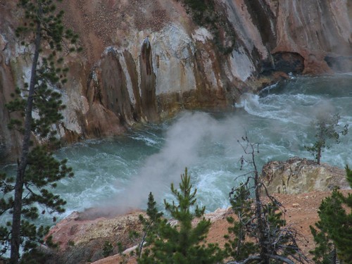
A steam vent was visible near the river.
IMG_6315
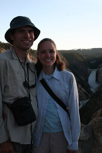
We also got a fellow tourist to take a rare photo of us together.
IMG_4894
And Brian got a photo of Sarah.

IMG_6320
It was getting closer to sunset, and we drove back down through Hayden Valley, hoping to see more wildlife.

IMG_4895
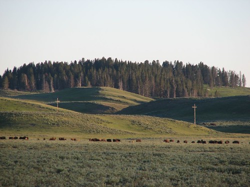
A herd of buffalo was not far from the road.
IMG_6321
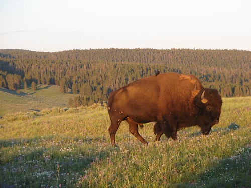
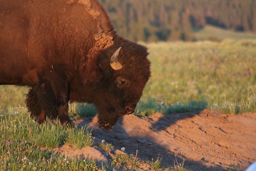
And a couple of buffalo were very close to the road.
IMG_4899
IMG_6330
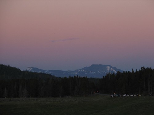
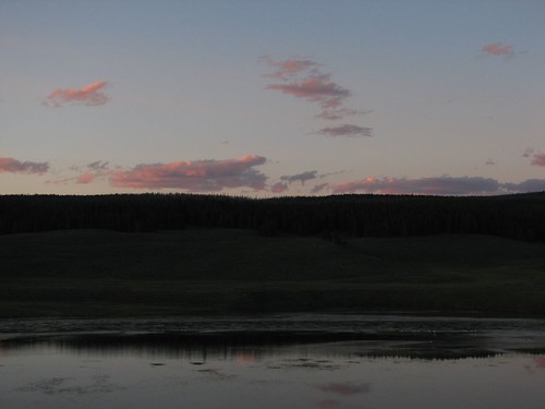
There were also more beautiful vistas as the sun set.

IMG_6324
IMG_6342
IMG_6347
We also saw another grizzly bear in the distance, moving in and out of tree line.

We didn’t get back to our camp to cook dinner until nearly 11 pm. All in all, it was a rewarding night of scenic driving and wildlife viewing. Tomorrow, we’d drive south to Grand Teton.

Saturday, July 19, 2008

Black Canyon of Yellowstone

On our last trip to Yellowstone, we saw most of the frontcountry stuff – Old Faithful, Yellowstone Falls, Yellowstone Lake, all sorts of thermal features, wildlife, and lots more. But we hadn’t done any longer-distance hiking. This time, we planned to do a several-day trip into the backcountry. So on Wednesday morning, we stopped at the West Entrance Station at Yellowstone to get a backpacking permit. This time, we talked to an older ranger who seemed to know what he was talking about. For starters, he gave us a newspaper that Yellowstone publishes, detailing backcountry regulations, locations of campsites, and more. It would have been useful to get that the night before, so we could have started planning! But even though the newspaper said the West Entrance Station issues backpacking permits, the ranger said he couldn’t do it, and we’d have to go to the Old Faithful Ranger Station, 30 miles away. We expressed interest in hiking around Shoshone Lake, and he said that would be no problem – no one ever backpacks in Yellowstone, so backcountry camping areas are never full. Old Faithful was on the way to Shoshone Lake anyway, so no big deal.

After over an hour of driving (it takes forever to drive anywhere in Yellowstone due to all of the animal jams), we made it to the Old Faithful area, which was a complete zoo. We spent a good 15 minutes driving around the parking lot looking for a spot. When we finally got into the visitors center, we found out that they don’t issue backpacking permits – we had to go to the ranger station, a goodly hike across the vast expanse of asphalt and vehicles. When we got to the ranger station, we immediately found the backcountry office, but it was closed due to an emergency. A ranger clearly in a hurry rushed past Brian and said she had no clue when the office would open again – the ranger had to leave the office for an emergency carry-out of an injured hiker. Ugh. OK, so a hiker gets hurt, and the ranger has to temporarily close the backcountry office to participate in the rescue. Makes sense. But shouldn’t another ranger be able to step in and reopen the office? In our short time at Yellowstone so far, it hadn’t seemed like there was any shortage of rangers.

So now we had to go to Grant Village, the next-nearest backcountry office, another long drive away. When we arrived at the ranger station, it was closed. We thought we’d been foiled yet again in our quest to get a permit but then noticed a note indicating that here backpacking permits are issued at the visitors center, not the ranger station. At the visitors center, we finally found a real live ranger! Even better, this guy actually had a clue – he was able to discuss different routes with us and offer advice.

Shoshone Lake, as it turns out, is a very popular backpacking trip, in large part because it’s one of the few longer-distance loop routes in the park. Yellowstone is America’s oldest national park (established in 1887), and when its trail system was built, recreational hiking wasn’t really something that people did. Some extreme nature lovers like John Muir hiked, but it wasn’t the widespread pastime that it is today. So the trail system wasn’t built for hikers, but rather for rangers on horseback to be able to get from one part of the park to another as quickly as possible. So Yellowstone lacks the great backpacking routes that, say, Glacier or Grand Teton has.

Shoshone Lake, in addition to being a popular backpacking trip, is also popular with boaters, and most of its campsites are accessible from the lake only, not from the trail. So although the ranger tried his hardest to find a sequence campsites that would work for us for a three-day trip, Shoshone Lake was too booked up for us to get in. Same thing with Heart Lake, another popular backpacking lake, which would have just been an out-and-back hike.

Shoshone and Heart Lakes are near Grant Village, so they would have been convenient to get to from the backcountry office. But now we started looking farther afield for backpacking routes. The lack of available campsites was an obstacle in the extremely popular areas, but throughout the park, snowpack and river fords were two other serious obstacles. This past winter, the West saw a huge amount of snowfall, so the high elevations are staying snowed in much later than normal. The spring melt is also heavier and later than normal, so rivers that would normally fordable at this time of year are still too dangerous. And as an added bonus, melting snow brings water, and water brings mosquitoes, so the mosquitoes are awful throughout much of the park.

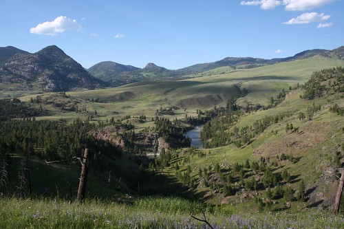
Eventually, we settled on hiking into the Black Canyon of the Yellowstone. It’s at the northern end of the park, which is at lower elevations, so it melted and dried out weeks ago, meaning no snowfields to traverse and, hopefully, fewer mosquitoes. We’d hike in from the Hellroaring Creek trailhead and then hike along the Yellowstone River a ways through the Black Canyon of the Yellowstone, camping for three nights total. And although it was getting late in the day, we could plan our trip with just a two-mile first day, so we could get started this evening. Hopefully, the several hours that we’d spent tracking down a backcountry permit would be worth it.

We drove about 1.5 hours from Grant Village to the trailhead, stopping at the Tower general store for some ice cream. An ambulance and a half dozen park personnel were in front of the store when we arrived, along with several crying people who didn’t speak English. It turned out that someone, a friend or family member of theirs, had had a heart attack at the general store and died. Wow. That really put our frustrating day into perspective.

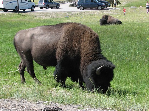
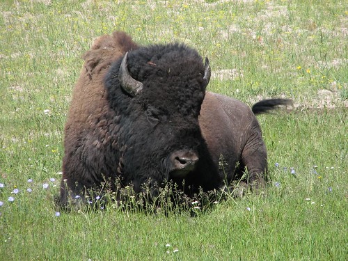
Over the course of the day, we did see some good wildlife. In the morning, we saw buffalo right beside the road.

IMG_5973
IMG_5976
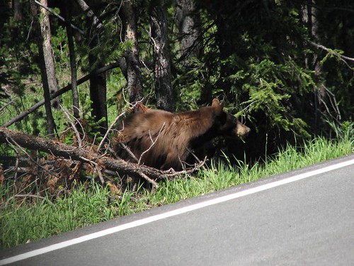
And in the afternoon, a black bear was hanging out at the side of the road.

IMG_5978
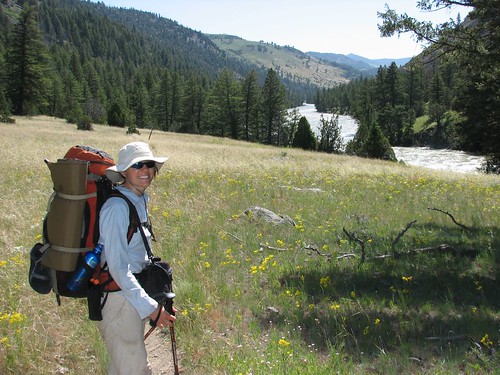
It was well after 6 PM when we arrived at the trailhead and started hiking. The mosquitoes were voracious – we both wore long sleeves and pants, and Brian wore a mosquito head net to ward them off. It was a lovely area, though, with wildflower-filled meadows and the Yellowstone River running through.

IMG_4701
We pretty much raced to our campsite, since stopping meant losing blood to a swarm of mosquitoes (and this was supposed to be the less buggy part of the park…). We crossed the Yellowstone River on a suspension bridge and then hiked up Hellroaring Creek a ways to our assigned site. It was maybe 2.5 miles from the trailhead, mostly downhill – about the right distance, considering that we got to the campsite around 8 PM. We made a quick dinner and then hid in our tent. As we lay there, we counted the mosquitoes that took up residence on the underside of the rainfly of our tent. The count got up to 60 or so. It was a crazy sight to see – instead of counting stars or sheep, we were counting mosquitoes.

The next morning, the mosquitoes were gone, thankfully. We continued hiking up Hellroaring Creek.

IMG_4706
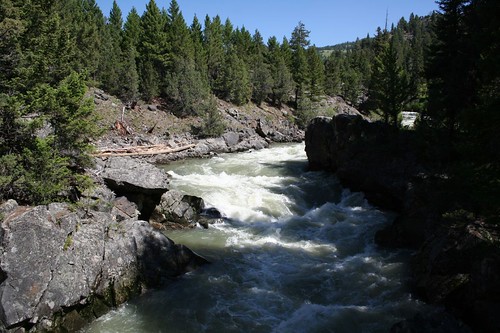
Shortly, we reached the stock bridge across the creek, where the water rushed below our feet.

IMG_4707
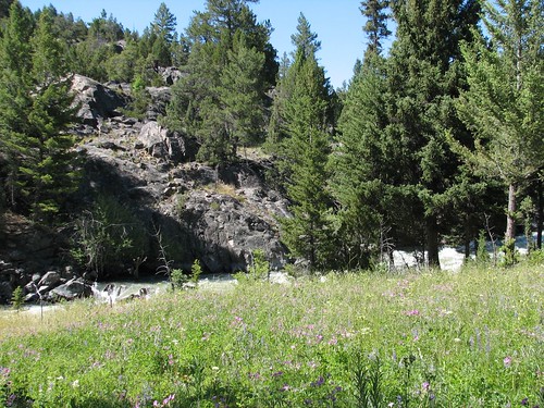
We walked down the opposite side of the creek, with more great views and still more wildflowers.

IMG_5993
Eventually, the trail angled away from Hellroaring Creek, cutting the corner made by the confluence of Hellroaring Creek and Yellowstone River. We walked across open wildflower meadows.

IMG_4712
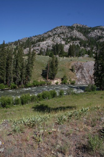
Finally, we reached the Yellowstone River again. The Hellroaring Creek diversion was really just to get to the stock bridge. Later in the summer, when the water isn’t running as hard, hikers can ford Hellroaring Creek, but given the high water levels, we had to hike almost two miles up the creek to cross the bridge and then another two miles back down. No complaints, though – it was a pretty hike along the creek.

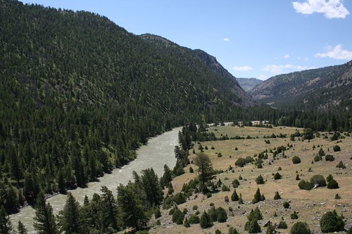
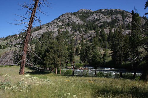
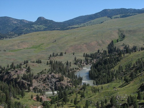
Here’s the Yellowstone from a high point on the trail.

IMG_4714
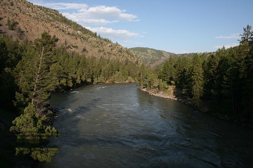
Today, we were camping right on the Yellowstone River.

IMG_4715
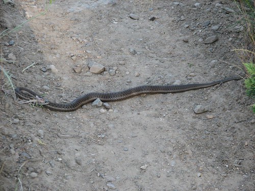
Tonight’s campsite was windier than the previous night’s, so mosquitoes weren’t nearly as much of a problem. We set up camp and made dinner and then hiked farther down the Yellowstone River, eventually stopping at another suspension bridge before returning. We carefully navigated around a snake along the way.

IMG_6009
We had hoped to find a creek feeding into the river, but no luck – we’d have to filter some drinking water from the Yellowstone, which was awfully silty and smelled a bit like rotten eggs. Sure enough, it did a good job of clogging up our filter, but after cleaning the filter, we had enough water to get us to a clearer stream the next day.

At this point, we had seen a couple of other day hikers the previous evening as we hiked into Hellroaring Creek, and we’d seen nobody all day today, even on one of the few good backpacking routes available this time of year. Yellowstone truly is a park for SUV and tour-bus crowd. Over three million people visit Yellowstone each year, and only a tiny percentage of those venture off the nature trails and boardwalks and roadside pullouts.

The next day, we enjoyed our lovely campsite a bit longer and took a couple of pictures before leaving to retrace our steps back toward the trailhead.

IMG_4716
IMG_6012
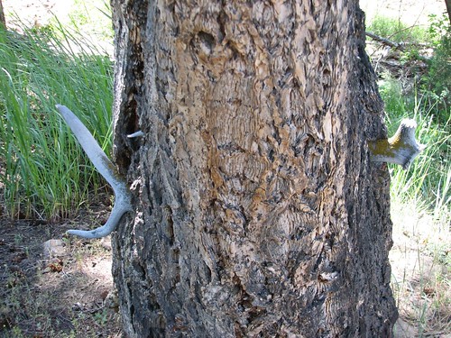
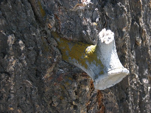
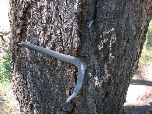
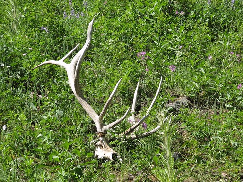
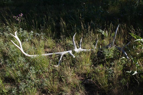
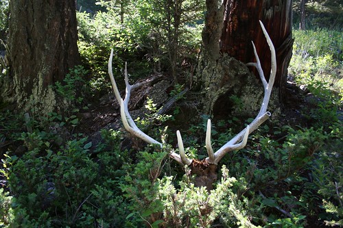
Throughout the hike so far, we’d seen lots of animal bones, antler sheds, and large animal scat (buffalo and elk, probably), but no live large animals. Today, alongside the trail, we saw the most curious thing so far: an antler shed stuck through a tree.

IMG_6014
IMG_6016
IMG_6017
We guess the elk shed his antlers on or in the tree when the tree was much smaller, and the tree just grew up around them. Pretty wild, though.

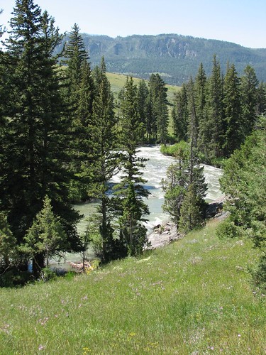
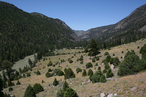
We got more good views of the Yellowstone as we climbed back up.

IMG_4719
We saw quite a few butterflies as we hiked. Unfortunately, the butterflies were most prevalent on the rare muddy sections of trail, exactly where the mosquitoes also like to hang out. But this one stopped and posed so nicely that we had to take a picture.

IMG_6027
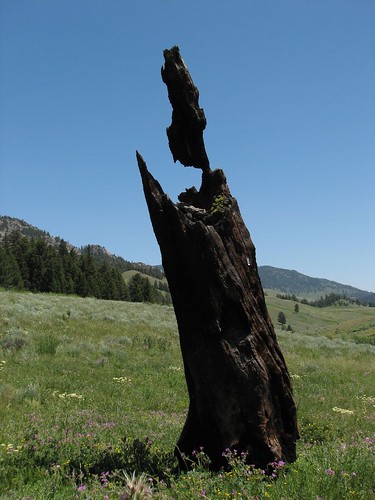
This burned tree stood alone in the middle of a wildflower-filled meadow.

IMG_6028
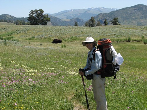
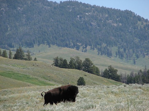
And just beyond the burned tree, we saw our first big animal of the trip – a lone buffalo!

IMG_6029
IMG_6031
It was a good distance away, but as we continued hiking, suddenly the buffalo jumped and ran up the slope a ways. Apparently, it hadn’t realized we were there and just got wind of us. It didn’t look too happy.

IMG_6036
It had its tail raised, which Sarah at first took to mean it was angry. But no, as it turned out, it was just going to the bathroom.

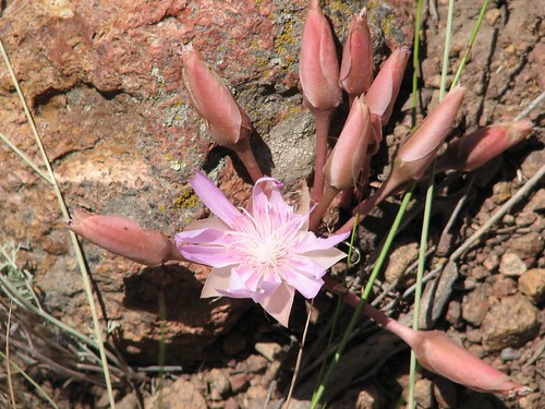
We saw lots of pretty flowers but especially liked this one.

IMG_6039
We not only saw lots of antler sheds, but even the occasional skull with antlers attached.

IMG_6040
Sometimes, this hike was like walking through a big-animal graveyard.

Tonight’s campsite was along Hellroaring Creek, and it turned out to be in a beautiful meadow.

IMG_6042
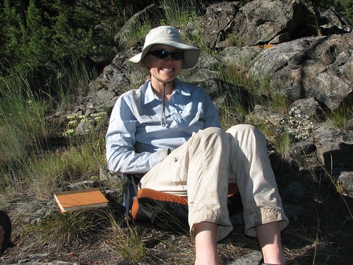
Sarah was happy to take her hiking boots off and sit down in her camp chair.

IMG_6044
Still more antlers were to be found, right in our campsite.

IMG_4724
Before we left the next morning, we found another skull and antlers, this one with the fur still on.

IMG_4727
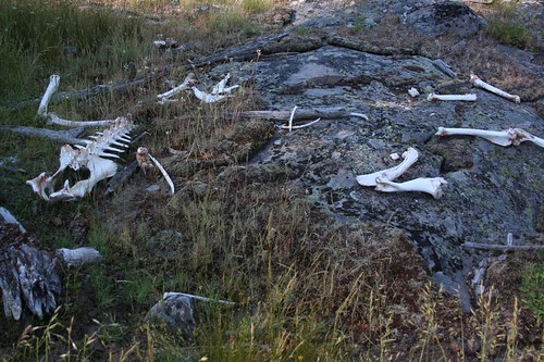
And as if that wasn’t gruesome enough, a few scattered bones.

IMG_4730
We took a last picture of Hellroaring Creek as we headed out.

IMG_4731
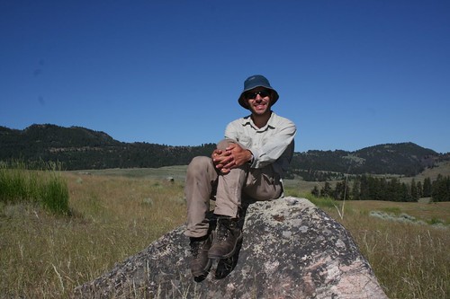
Here’s Brian at a rest break – we’re almost back to the trailhead!

IMG_4733
We climbed the steep trail back up from the Yellowstone River back to the trailhead, taking a last photo looking back.

IMG_6074
Then we reached the trailhead, a little before 11 AM on Saturday. We’d hiked around 27 miles in two full days, an evening, and a morning. Now that we’d seen a bit of the backcountry, we headed out to do some frontcountry sightseeing!